|
 |
 |
 |
 |
|
|
|
|
|
|
Saturday, July 15 20 miles to the Illinois River
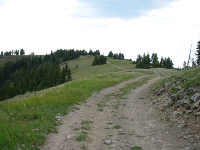
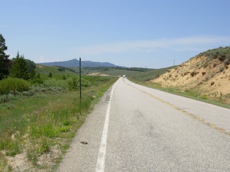
The hills are alive, with the sound of engines. . . Definitely not music to my ears. Hiking the North Supply Trail on a Saturday morning meant five miles of constant ATV, motorbike and jeep noise and dust. We followed the jeep road reluctantly, having vivid memories of its steep rocky eroded nastiness, but didnt realize how crowded it would be. It wasnt that bad last time we were here, but that wasnt a weekend.

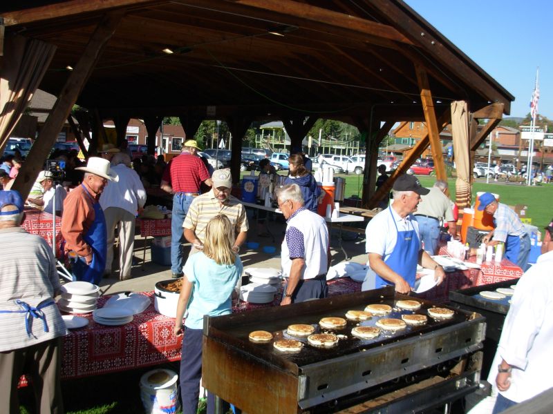
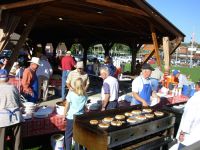
We started the day well, with a Rotary Club pancake breakfast at the park. We talked to several people and enjoyed our sausage and flapjacks. The brief walk though Rocky Mountain National Park was cool in the woods and quite nice, aside from the two groups of horses, about 40 in all, that we passed near the Visitors Center. We got a drink and ice cream at the campground resort, then began the climb back to the Divide. Grand Lake is at 8400; we climbed to 12,100 on a hot (80s) sunny day. Hopefully there will be no illegal ATVs up here. We watched two motorbikes pass through the gate at the trailhead. Its legal for the next mile, then we enter wilderness. Will they turn off?
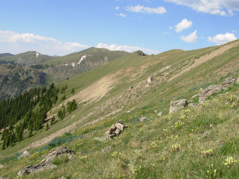
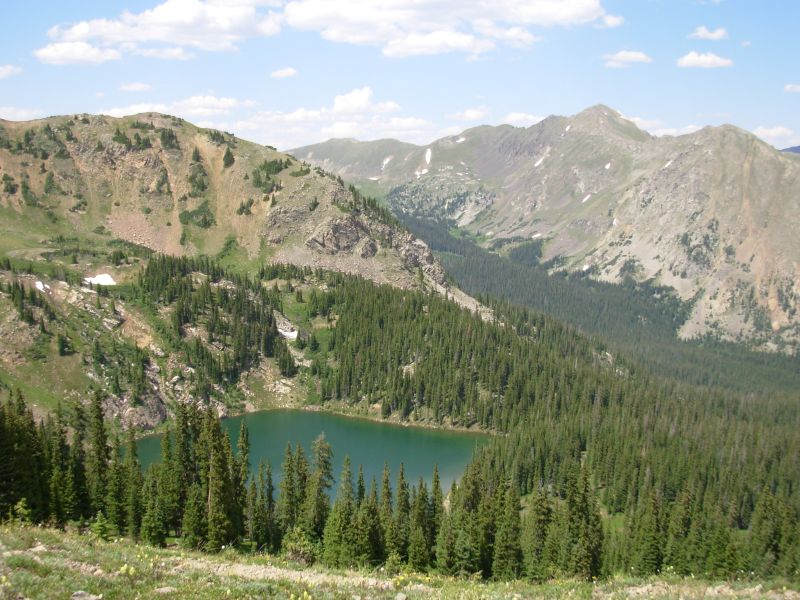
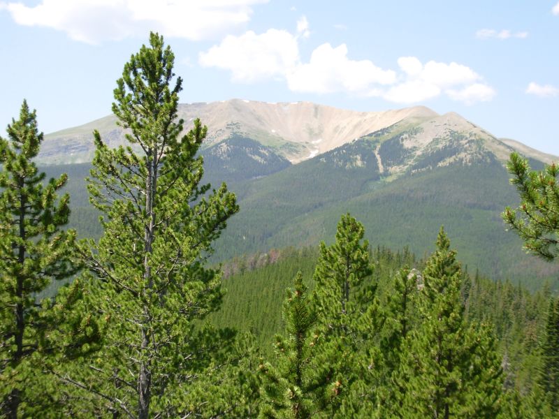
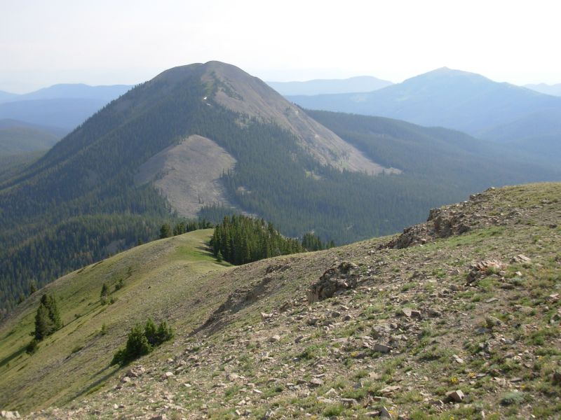
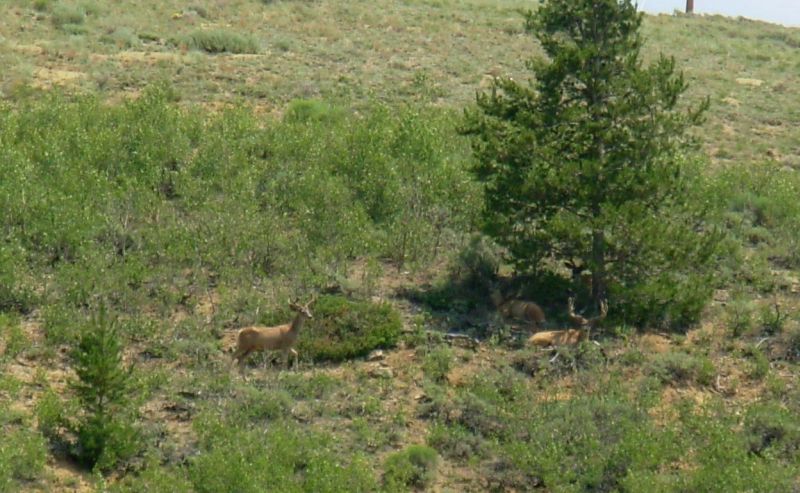
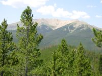
The afternoon was much more scenic than the morning. We ended up hiking 20 miles to the Illinois River. We didnt plan to go that far, but there werent many good flat campsites before that. It was a long descent. Still, we enjoyed a long stretch near the Divide as we passed Cascade and Ruby Mountains. It was hot and hazy, but there were beautiful views in all directions: south to the Indian Peaks area, east to RMNP, west toward Parkview, which well climb tomorrow, and north to some snowy peaks that may be the Mt. Zirkel Wilderness Area. We met several day hikers, but only saw one lone deer. We climbed over 4000 and descended almost as much along the Illinois River. Jim and I are both tired and sore. We had hoped to camp much higher up, but I wasn't happy with the sites on the meadow (lumpy) so we descended a couple miles more than expected or desired.

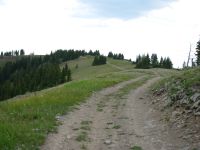
The surprising thing about our hike along the Divide was that so much of it was not on the Divide, but about 50 below. It made for less up and down, but still it surprised me because the Divide was very walkable. Are they trying to turn this into the PCT? I hope not! We climbed up to the edge every once in a while to look down at the cirques on the other side. The trail was very narrow, not cut trail but almost game trail. It was hard walking, though the cairns made navigation easy.
Jim: We really enjoyed out pancake breakfast, courtesy of the Rotary Club. We talked to some of the volunteers - seems Lindy was here some time ago and talked to the Rotarians about the trail. They were quite impressed with him. And some of them had helped build the new trail out of town into RMNP.
Then there was the ice cream at the resort. And then a long climb to the Divide where the views went on and on - until the descent that went on and on.
Sunday, July 16 17 miles to old logging road near Haystack
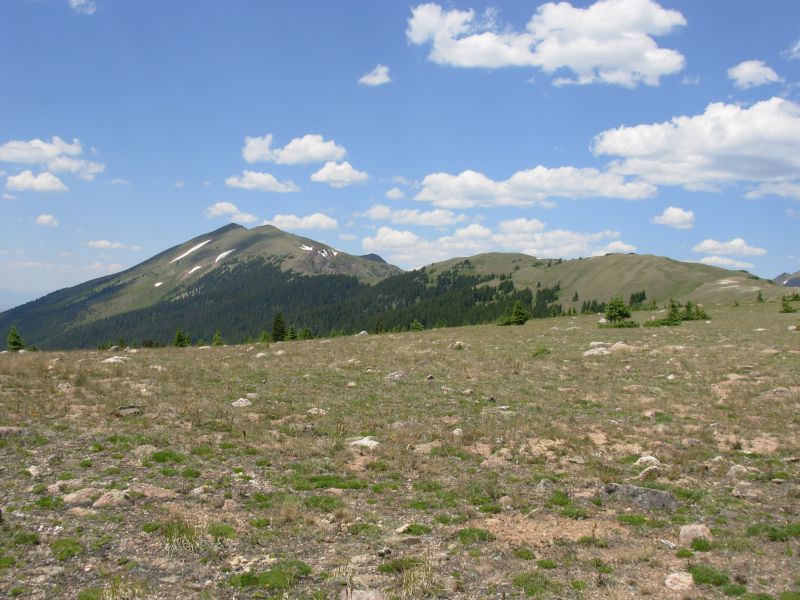
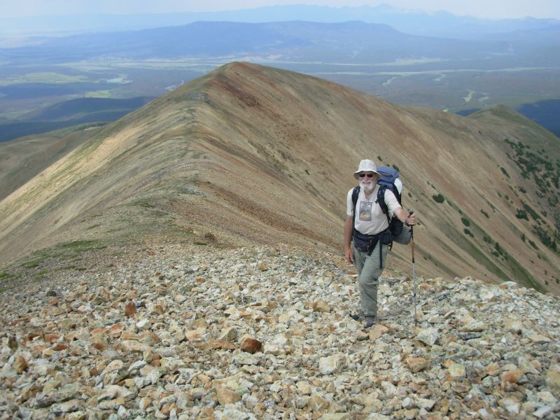
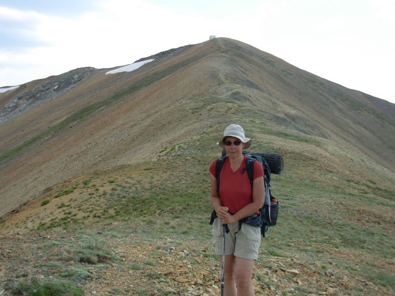
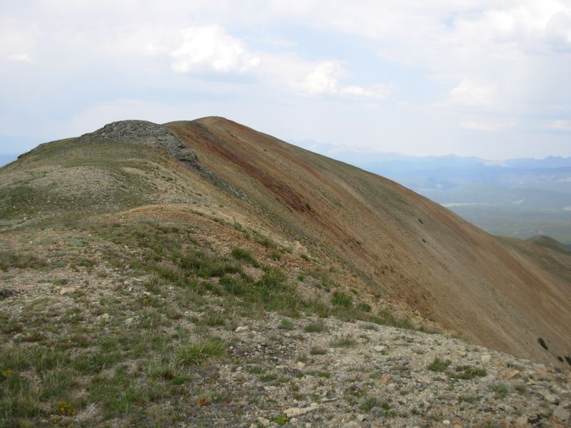
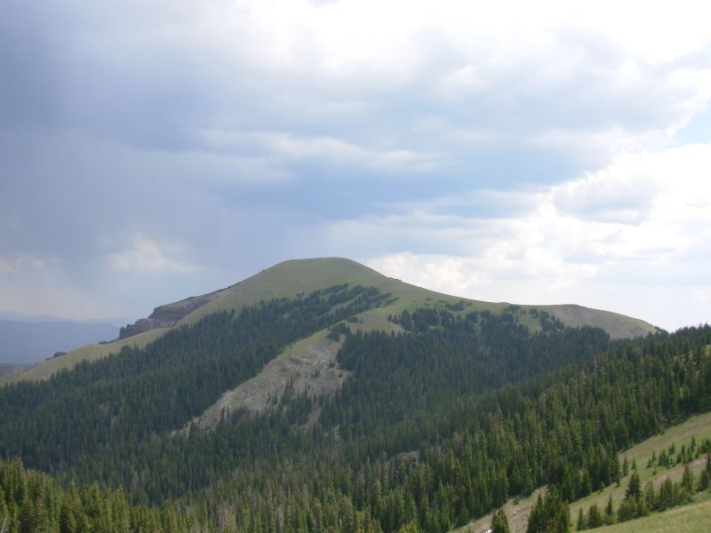
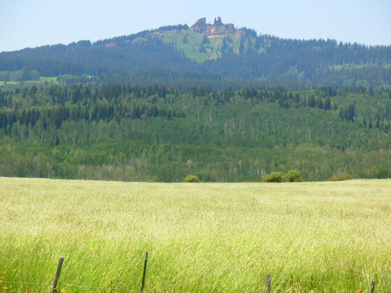
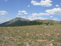
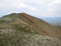
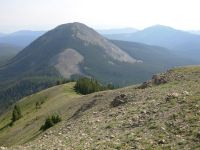
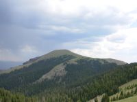
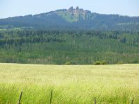
Today was Parkview day. I have been looking forward to climbing Parkview for days. Yes, it is very steep both going up and coming down, but it is such a distinctive and memorable mountain, it is a lot of fun. It stands alone with bald red rocky ridges, visible for miles. To climb it from the south, you follow jeep roads for two miles, and then bushwhack up a forested ridge to one of the main open ridges leading to the top. The climb is mostly in the last 1½ miles, though the total elevation gain is 2800 or so. The tread really isnt bad, for open ridgeline. Descending the other side, you drop 1200 in a mile, then climb 500, then drop 1200 again. It is steep, with no trail, just alpine flowers and grasses. As I said, memorable.
We were lucky. A few clouds gathered but no rain fell. We had checked the forecast in Grand Lake, so felt reasonably secure, but the clouds were a worry. They locked the cabin up on the peak so its no longer useful as an emergency shelter. More irritating were the motorcycle tracks to the top that tore up some tundra.
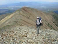
The morning was less exciting, following jeep roads and then a motorcycle trail up to Illinois Pass and down the valley of Trout Creek. It was quiet and peaceful except for three motorbikes that passed us around 11:00. At the highway at Willow Creek Pass we saw lots of bikes, both motorized and not. Last time through here we didnt see a soul there when we tried to hitchhike to town so Jim could have a birthday burger and beer, but today was a Sunday and everyone was out enjoying the mountains. We couldnt see any sign of trail at the pass, so we walked down the highway and picked up the jeep road the trail is supposed to meet. Afterwards I reread the guidebook and realized you are supposed to bushwhack ¼ mile to the road; there is no trail. We met two families out enjoying the day: one group was climbing Parkview with their dogs, the other climbed on ATVs. The road leads to within a mile of the summit. The official trail follows one ridge to the top, Jim Wolfs route follows another, with no marked trail. As we climbed on our alternate route, we heard shooting somewhere below us. Not the ATV people, since they passed us earlier, but it could have been the dayhikers.

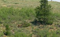
The views from the Divide were not spectacular, except for the near distance, because of the clouds and haze. The forest to the east is dying, so it was red and brown. We saw a herd of elk, nine or so, sleeping in a draw north of the peak. Last night, as we were falling asleep, a deer or elk discovered us. He snorted and stamped for a couple of minutes, then ran off.
After Parkview, the trail descends steep grassy hills to a graded jeep road. We didnt want to camp next to the road, so after filtering water from a tiny stream, we left the trail and found an old logging road about 10 yards back that made a nice flat campsite.
Jim: The day started well, but deteriorated rapidly because of severe knee pain - in both legs. By the time we got halfway down Trout Creek I wasn't sure I could make it to the road, let alone climb Parkview. But a large dose of painkillers and a short rest stop made it all go away. By the time we got to the road I was ready for my "birthday mountain."
Parkview is my "birthday mountain" because in 1999 it was the first 12,000 ft mountain we climbed on the trail - and we did it on my birthday.
It didn't take us all that long to climb the nearly 3000 ft ascent, but the views weren't as good as they might have been. It was too hazy - partly due to the smoke from various wildfires. Last time we were here it was really COLD, and the shelter on top was a good place to have lunch. This time the shelter was locked. This time, though, it wasn't all that cold - in fact, we were comfortable in T-shirts. It's too bad so many CDT hikers wimp out on this one - on a good day the views are just tremendous.
Coming off the mountain was another story. That's when the knees started complaining again. We made a small mistake - we started up Parkview short on water. So when we got to the road, we were looking for water. We found a little flow and spent some time pumping some. And five minutes later we found a real stream down the road. Camp was on an old logging road about a half mile from the stream. It was Miller time - without the Miller. And I was a tired puppy.
Monday, July 17 20 miles
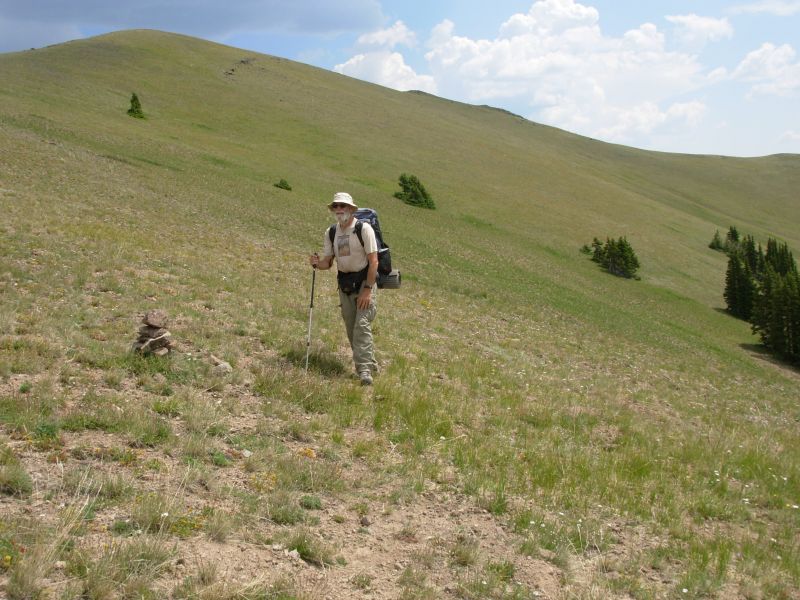
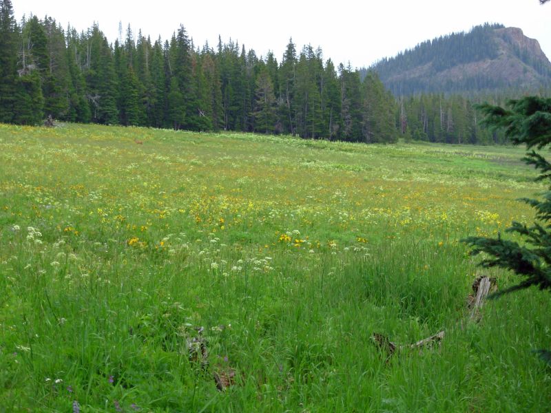
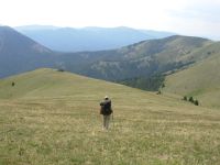
Troublesome Pass turned out not to be troublesome, as we followed several old logging roads past that junction up to Poison Ridge. The route is a bit obscure because the area is such a maze of old roads, but we followed our noses and stayed on track. I think it would be harder going the other direction. We spent the rest of the morning high on the Divide, hiking along the ridge past Sheep Mountain to Arapaho Ridge to the ridge near Hyannis Peak. The walking was good, though some of the ups and downs were very steep.
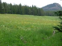
A thunderstorm developed behind us, but we were able to get off the open ridges before the clouds came our way. We saw several elk and a mule deer in the trees. Butterflies of a dozen different varieties danced among the flowers. My favorite is orange on one side, mint green on the other. Pretty thing. Biting flies and mosquitoes were also abundant. I enjoyed the green hills and interesting rock formations (hoodoos). It was too hazy for distant views, but the near ones were nice.
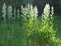
We ate lunch by a stream then climbed on a very old jeep road to the ridge opposite. We lost the trail for a while. Evidently the road split and our branch descended. Rather than backtrack, we climbed through the forest to where the trail crossed above us. We knew we were heading toward a ridge road, so as long as we kept going up, sooner or later wed be back on track. The ridge road was nice, with good views and some gorgeous flowers. At one place it was lined with dense lupine, paintbrush and yellow flowers. On our way up we spotted a large elk stag with a huge rack. Its the first weve seen with antlers, since they shed them in the spring. We didnt see any vehicles on the ridge road. We did meet one teenager who was camping with his uncle down by the creek were we had lunch.
The clouds stayed with us all afternoon, and despite lightning to the east and to the west, we only ended up with one 30 minute shower around 4:30 that hit just as we were approaching a wide open meadow. We waited in the trees, though the rain never did get intense where we were, just sprinkled lightly and thundered off in the distance.
We found another old logging road to camp on tonight. Its right off the jeep road weve been following, but judging by the roughness of the road, it gets little use. We set up a barricade though, just in case some ATV decides to explore early in the morning. In a mile or so well reach a graded road, which is why we decided to stop here. That one could be busy, or not. Theres no way to know.
Jim: History repeats - last time we were on Poison Ridge there were thunderstorms all around us - and we hurried fast. So here we are with the thunderstorms again. And yes, we hurried.
Tuesday, July 18 22 miles to Steamboat Springs
Today turned out to be an unexpected day, in a lot of ways. The dreaded road walk 9 miles on graded dirt road, 9 on busy highway turned out not to be so dreadful. The first was not a busy road. We ran into a BLM group out surveying. We chatted with them about the trail for quite a while. A couple of the men had been very involved in efforts to create a better, non-highway route in the Rabbit Ears area. We were basically told, Dont hold your breath. It wont happen any time soon. It was an interesting conversation. Other than them, we only saw three vehicles on the forest road.
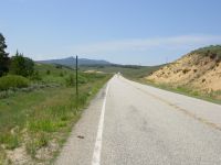
The highway was busy, with very little shoulder to walk on. Most vehicles moved over though and there were lulls in the traffic. It was pretty country: sage-covered hills with a stream next to the road. Best of all was the wildlife. In eight miles we saw 13 antelope and 12 deer, a blue heron (seen twice), and two hawks. Although the day was warm, clouds moved in late in the afternoon, so it stayed relatively comfortable, despite the lack of shade after the first couple of miles There were lots of flowers everywhere. I tried to get a picture of one buck standing in a field of purple flowers watching me, but he ran before the camera was ready. Most of the deer were seeking shade, either by the creek, in the sage, or under the few scattered trees.
Steamboat Springs can be approached either from Highway 40 or Buffalo Pass, 18-20 miles farther on. We had planned to go to Buffalo Pass to shorten the next very long stretch to Rawlins. However, there is a question of how much traffic goes through Buffalo Pass vs. the highway. Last time we were there on a weekend so it was easy to get a ride. Midweek could be more of a problem. So I was already considering going to town a day early. Jim got water at a creek near the highway and we were planning to hike to the Dumont Campground to get more before continuing another mile or so. But I had my doubts. Then Mark Flagler drove past and stopped. He asked where we planned to stay the night. I said, If we can get a ride, Steamboat. He offered to drop his wife and Michael in town, then return to meet us a couple of miles up the road. We happily agreed. We missed the turn onto old US 40, so continued to the trailhead on the highway and walked the trail from new US 40 to Old Rabbit Ears Pass, where we met Mark only a few minutes later.
He dropped us off at a motel downtown where we got a shower, then headed for a burger and beer at Three Zs, the place where we enjoyed a good meal last time we were here. It was still good. The town has yuppified since we were here; its more touristy than ever. Its an expensive place to stay, but Im happy to be clean and cool and well fed.
Jim: The nine mile roadwalk to the paved road was broken up by meeting the BLM crew. John R runs the BLM office in Kremmling and he's been working on a better route through this section for a long time. He's not optimistic about an immediate solution. But he asked me to write a letter explaining the hikers' view of this section. I may be able to add some pictures to the pot as well.
The paved roadwalk was made more interesting by the sheer number of deer, antelope, hawks, etc. that we saw. The shoulder is marginally wide enough to be "almost" safe. But the bottom line is that it's still a paved roadwalk on a very busy highway, and therefore "not safe".
Just north of the road intersection, Jim W says there's a good stream on the west side of the road. And since we needed water by then, I went to get it. He's right - there is water, it is good. But he didn't tell me about the huge flock of sheep that we'd have to share it with. Noisy they are, and stinky too.
Meeting Mark, Terri and Michael was a bonus. It solved our dilemma about where to leave the trail to go into Steamboat.
July 19-20 Rest days in Steamboat

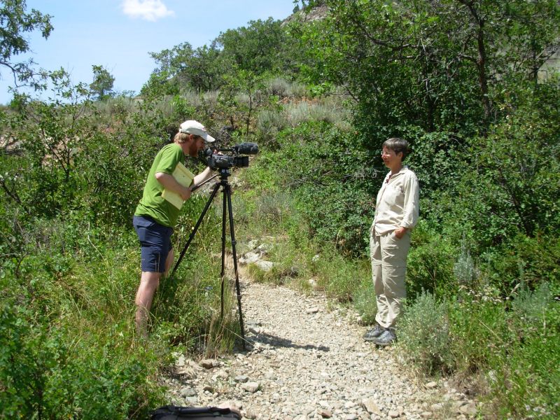
Jim: Mark wanted to interview us here since it's the last town we'll hit in Colorado. So he dragged us (willingly) out of town to a local park where we once again gave him too much information. Not that he'll use it all - but it'll ultimately make his job harder for having to sort through all the chaff.
One funny occurrence - after we were finished with the very fine Italian dinner that Ginny's been trying to get for about a thousand miles, the waiter came back with the check and credit card and VERY loudly, said: "So, you're a rocket scientist, huh?" I was too surprised to say anything but "Uh, yeah." And then it hit me how funny it was. It also hit the guy at the next table.
Home | Links| Trail Journals |
The Thruhiking Papers | Bun-bun
Created: Dec 2006
Revised: 30 Sept 2016Copyright © 2006-2017 Spirit Eagle