|
 |
 |
 |
 |
|
|
|
|
|
|
Sunday, June 4 15 miles

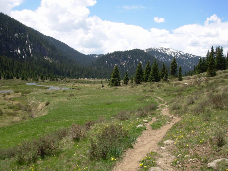
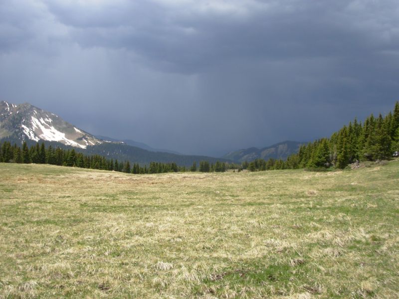
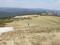
Im happy to be hiking again, though Im really having problems with either the altitude or something I ate. I feel dizzy and nauseous. But its a beautiful sunny day, the grass is green, the flowers are abundant, and the trail is mostly clear of snow.
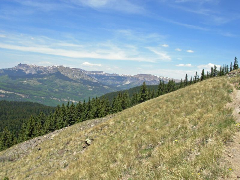
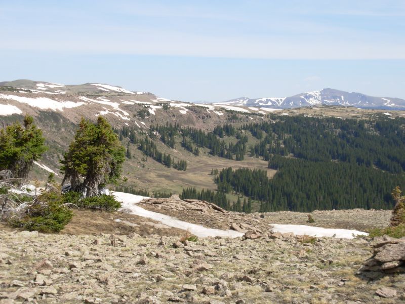
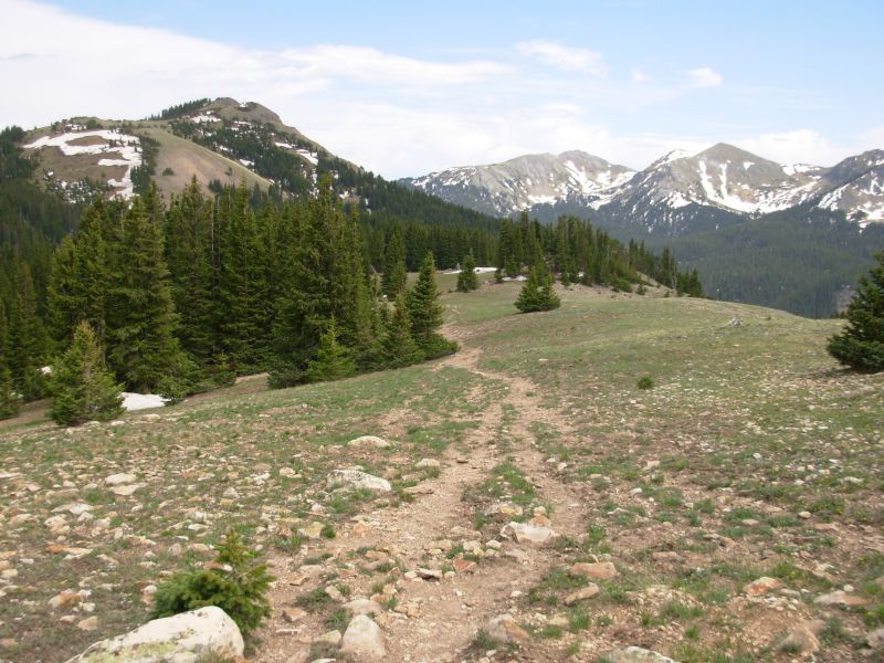
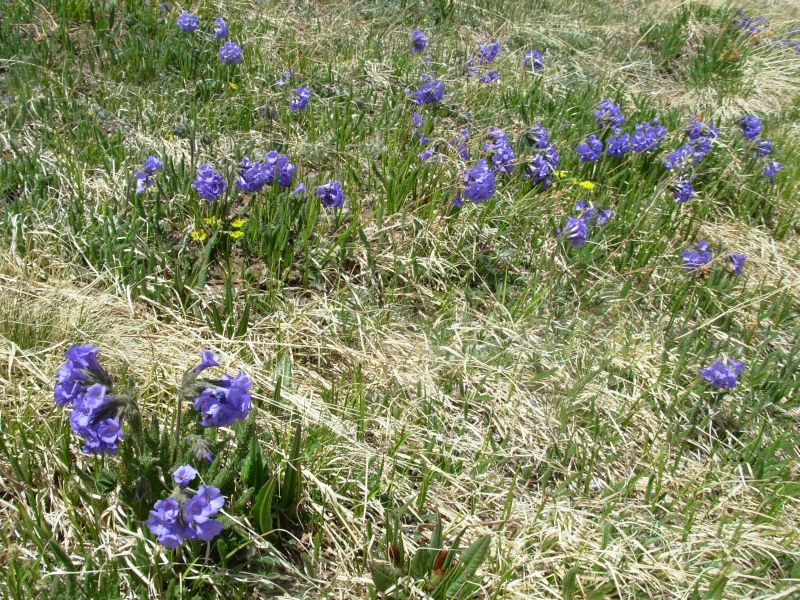
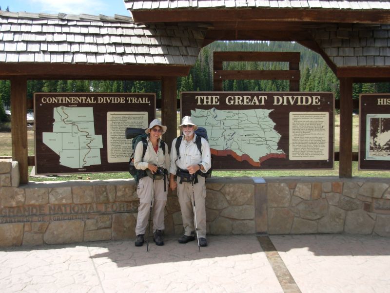
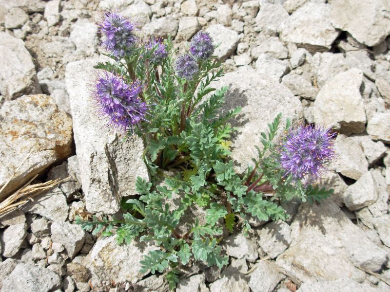
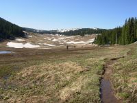
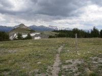
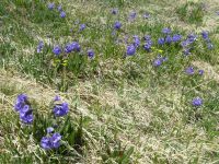
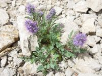
Jerry drove us up to Cumbres Pass where we met Mark and did interviews: last thoughts on New Mexico and first thoughts/expectations of Colorado. The trail didnt really match the guidebook descriptions, but it was clear and easy to follow. (It turned out I was using an older version of the Southern Colorado guidebook. I didn't discover the error until Leadville; it was quite confusing at times.) A lot of our hiking was in trees, where there were lots of blowdowns, but we climbed above treeline soon after lunch. There were nice views south and east. It took forever to get away from views of the road and we heard the train whistle for about half an hour. So far weve only seen scattered patches of snow in the trees. The alpine flowers were beautiful with lots of new ones: blue sky-pilot, bluebells and white phlox. Our only wildlife was one big horny toad.
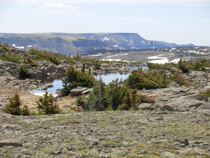
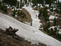
By mid-afternoon I felt better, but still not quite myself. Not eating lunch may have been a factor. We were very slow. The trail climbs to 12,200 and since Liz hasnt hiked in three weeks and hasnt been at altitude, she was suffering. Were in no hurry. The views are worth a long study. We had one bad snow drift that we had to go around on the shady side of the ridge and another where we post-holed for 50 feet or so, but so far the hiking has been easy, aside from the altitude. We had planned to go on to Dipping Lakes, but we were all tired. I also realized that the lakes might not be snow free I remember lots of trees there. Instead we found a clear dry spot above a small pond. Krummholz provides a little shelter from the wind. Frogs are peeping from the water. Were above 11,000' so its a bit chilly, but the day was nice.
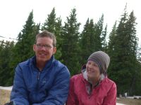
Jim: Mark Flagler interviewed all of us at Cumbres Pass before we left this morning. Made kind of a late start, but --- we're still not in any real hurry. So the time it takes isn't a big deal. And it's always interesting talking to him and Michael.
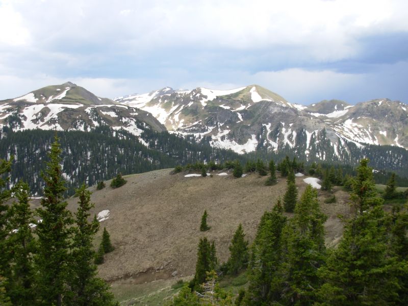
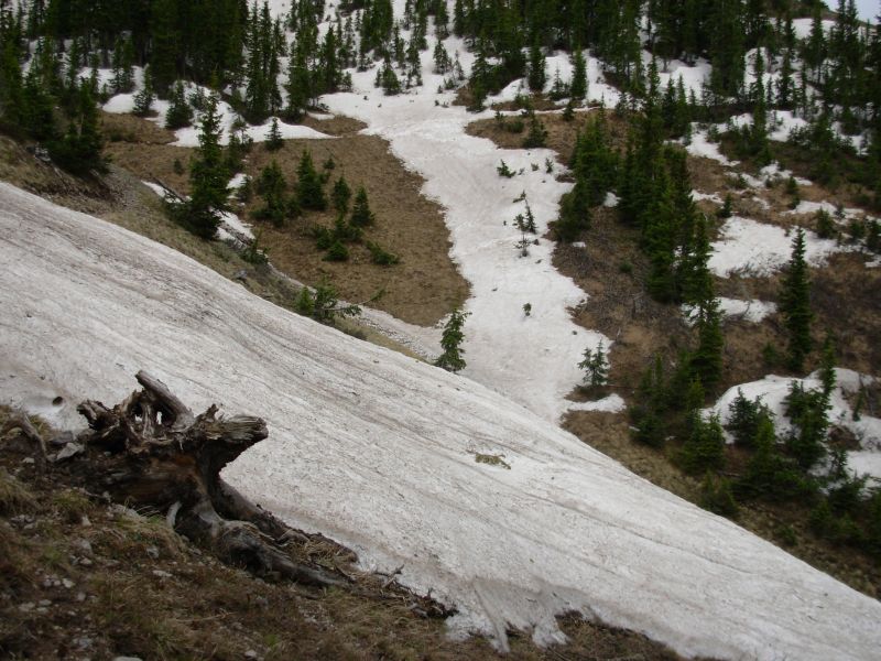
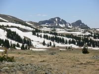
We're still early for the South San Juans - this section normally doesn't open until June 10th or later. This being a "low snow year," many of this year's hikers decided it would be open earlier. And they were "almost right" - but not quite. "Low snow" does NOT mean "NO snow." So most of the northbounders ahead of us are either plowing and postholing through more snow than they planned on or roadwalking around it.
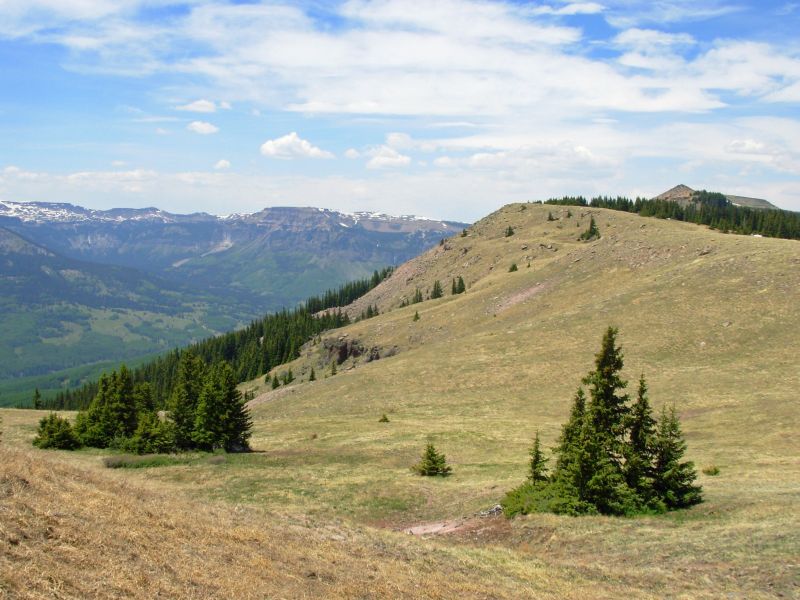
I remember this section from 1999 - I loved it. Although we did have to bail off the ridge toward the southern end because of high winds back then. No serious winds this time - just a little cool with lots of sunshine and gorgeous views.
Monday, June 5 12 miles to Blue Lake
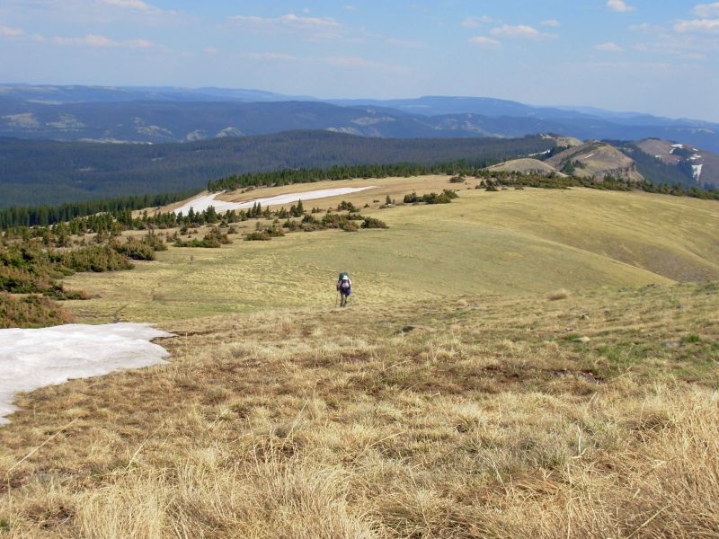
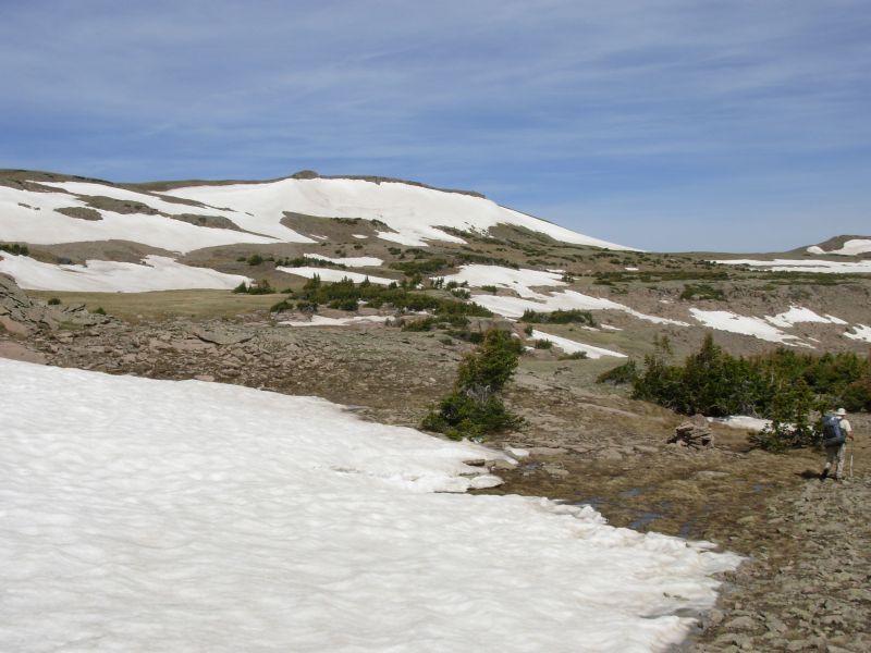
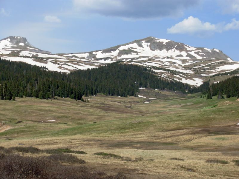
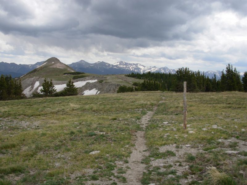
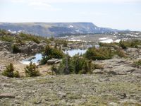
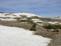
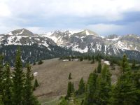
My stomach upset and dizziness improved overnight, so hiking this morning was much more enjoyable. We had a few detours around snow, but nothing too difficult. Most of the trail was clear, just wet and muddy. The mountains were streaked with snow, not solid white any more. There were lots of wet meadows and half frozen lakes. The cairns were mostly easy to follow, despite the rocky terrain that tries to hide them. We saw an elk this morning on a ridge ahead of us. It was all very beautiful. Today was cooler than yesterday, a little windier and with light clouds to block the suns heat.
Liz was having real problems, between the climbs and her sore heel. Weve only been walking about one mile in 45 minutes. Well be lucky to do 12 miles today. I dont mind waiting for her, but well have a hard time finishing this section with the food we have.
The afternoon was much more strenuous, playing hide and seek with the trail. There were a lot of snow-covered areas that we detoured around, plus we did a lot of postholing. We ran into Id and his wife near Blue Lake. They are camped about ½ mile away from us, along with Caras sisters and Andrew, as well as Nona and her husband. They went north a couple more miles and turned around, deciding to bail out rather than continue postholing hip deep. Liz decided to go with them. Her heel is not healed, despite three weeks of rest. She is really unhappy, since this thruhike was really important to her. Well go partway down with the group. If the trail is as bad as they say (worse than anything weve done so far) it would be dangerous to continue. At the same time, I dont want to skip this section or hitch around. So well have to figure out a way to continue north.
Today had its good moments: lots of lakes, beautiful mountains, and another elk hiding in the bushes that didnt run away from us. But we also have frozen wet feet and we only did 12 miles today.
Jim: It was a tough day, but no more so than I expected from this section. There's still enough snow up here to make navigation difficult at times. Not in terms of "losing the trail" or "Omigod, I'm lost," but rather, "we know where the trail is, but how do we get from here to there?"
I'm sorry to see Liz bail on this section. Under other circumstances, I think she could make it through here. But between the snow and her present physical problems, I think she's making the right decision. Ginny and I bear some responsibility for ensuring that she gets out safely, though. After all, we DID agree to partner for this section - and partnership on the trail means you take care of each other.
Tuesday June 6 17 miles
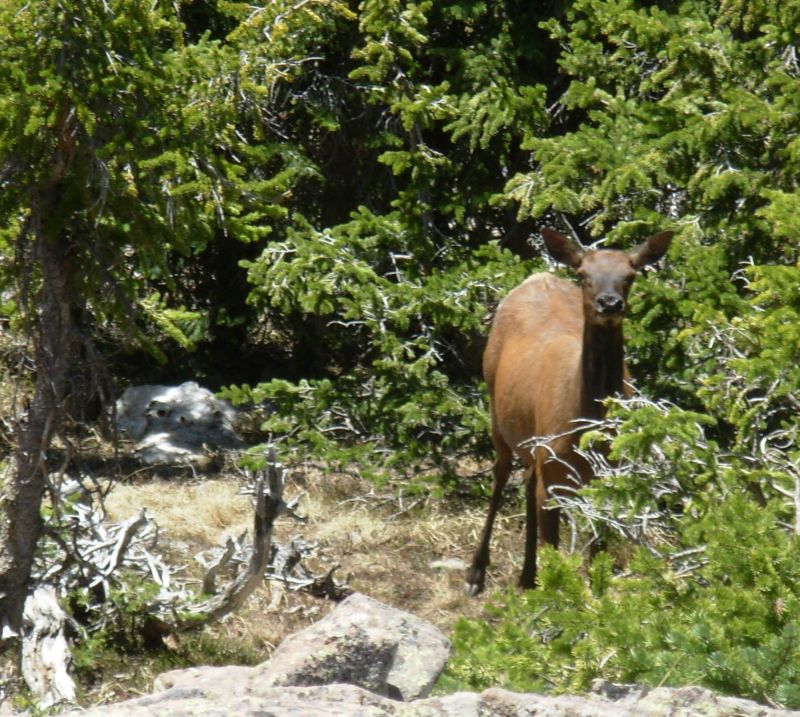
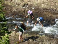
We followed a trail down El Rito Azul to the Conejos River. There was a lot of postholing through drifts in the trees, but also some open areas with good, if wet, trail. The hardest part was the three river crossings: the Rito twice and the Conejos once. The water was only knee deep, but it was fast.Jim hurt his finger in a fall, but not seriously. We hiked with Id and company. Nona and her husband decided to climb Conejos Peak and bail out later. Liz is doing well, despite her pain, but it is slow maneuvering through snow drifts . We saw an elk at the top of a meadow, watching us, and cougar tracks in the snow. Later we saw bear tracks in the mud.
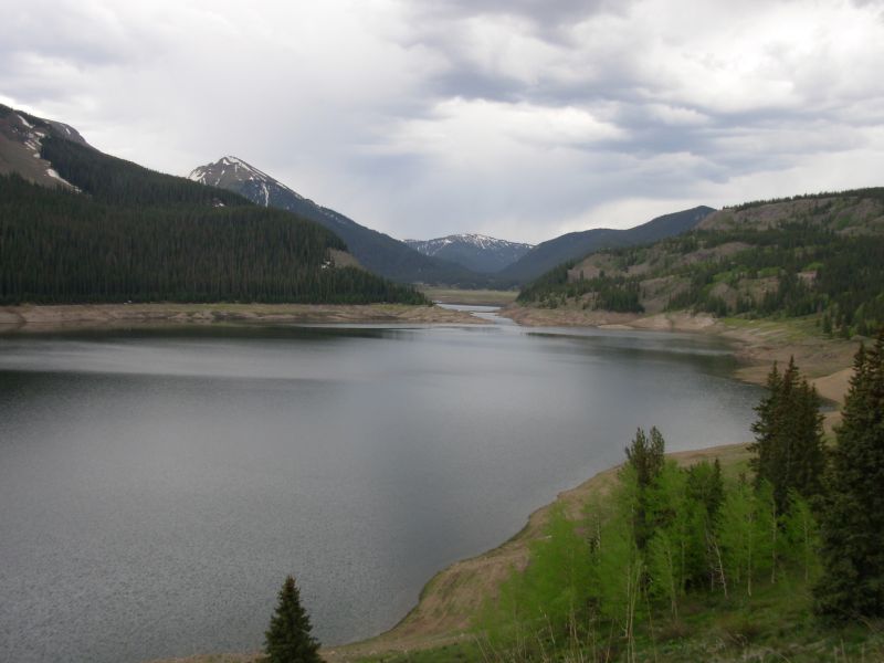
We enjoyed lunch in the sun by the river, then hiked on good trail along the Conejos to the trailhead. We waited for everyone to gather, then said our goodbyes. Liz and the others got a ride from someone camped near the road. Jim and I hiked on the dirt road to the Platoro Reservoir, then up to the Alamosa River. Around 4:00 it started to rain, seriously, for a while. It stopped about an hour later and we found a campsite well off the road. We were aiming for a campground, but this car campsite will be quieter and wont cost us anything. As we hiked in the rain, I couldnt help picturing Liz and company at a restaurant in Platoro, enjoying a hot meal while waiting for Jerry to pick them up. As we passed above the Platoro resort, Jim and I considered dropping in, but it was a long way down and we have enough climbing ahead of us. (Turns out the resort was closed. They had to wait on the porch in the rain for Jerry.) Our plan is to follow forest roads to Elwood Pass and pick up the CDT again there. If the trail is impassible, well head back out Elwood Pass.
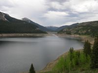
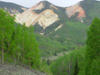
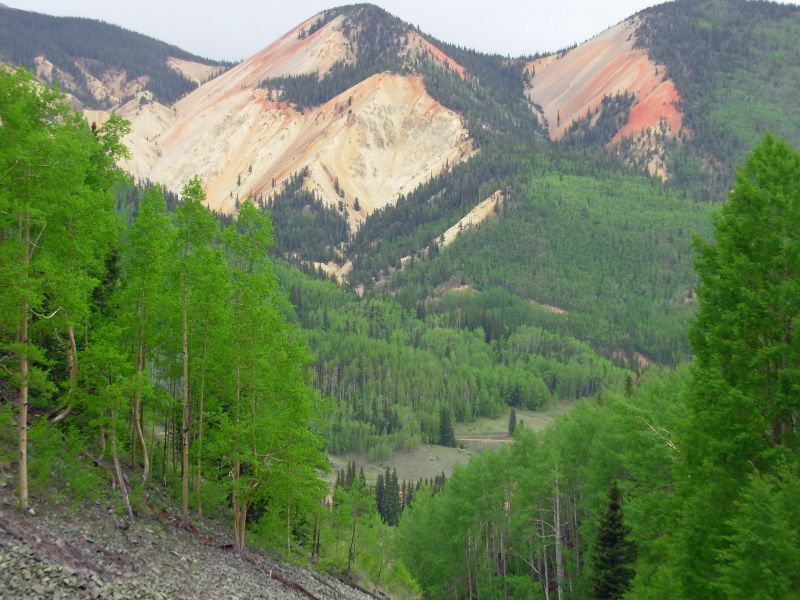
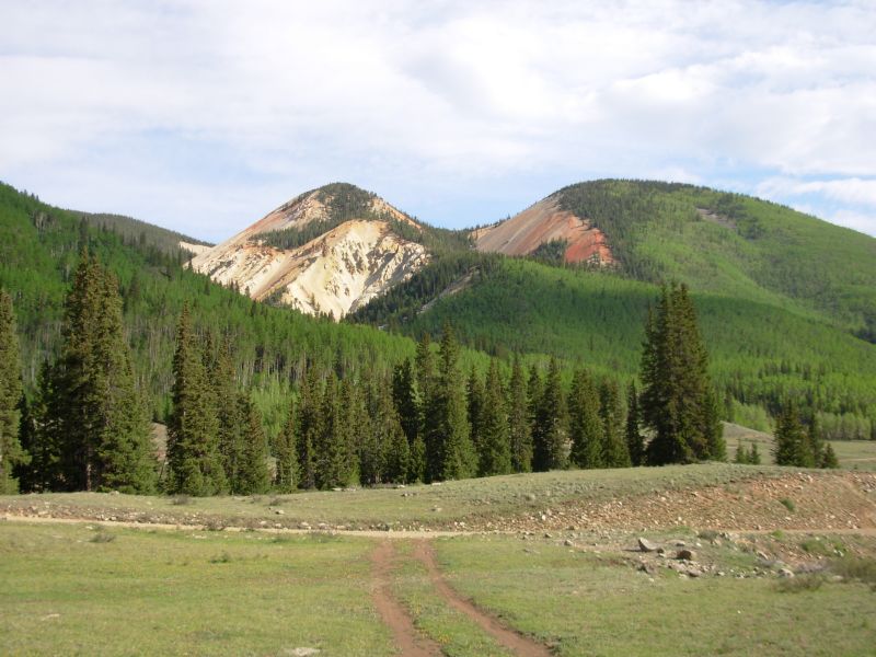
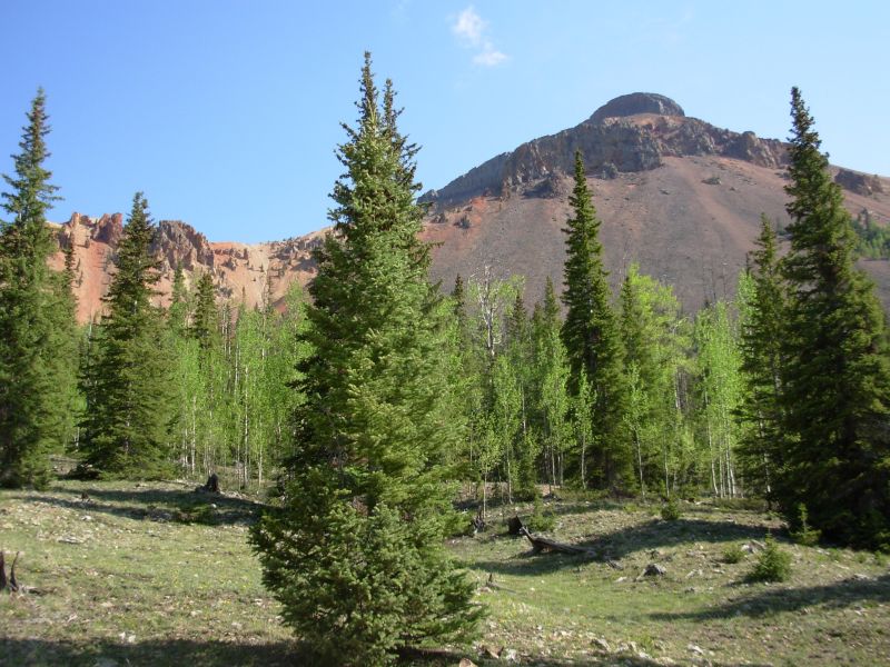
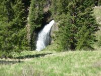
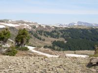
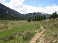
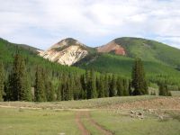
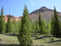
The walk today was quite pretty. Snow streaked the peaks. There were a couple of nice waterfalls. We saw more wildlife: two more elk by the reservoir and nine deer. Everywhere we looked, we saw something interesting. The mountains north of Platoro are red and orange and yellow iron oxide at work. They are beautiful. Its an old gold mining area. Down here at 10,000 there is no snow. Well see what tomorrow brings. We walked about 17 miles today: six on snowy wet trail and 11 on roads, so were tired. One of the odd sights today: a UPS truck on the forest road, out in the middle of nowhere. He must have been taking a short cut since he never returned.
Liz will probably get off the trail; her heel just cant take big miles. Id said hes thinking of jumping to Wyoming and hiking the Basin now. Hopefully the Montana snow will be gone by the time they get there. His plan calls for a lot of travel: from here to South Pass, then hike to Yellowstone, then drive to Glacier NP and hike back to Yellowstone, then drive from Yellowstone to South Pass and hike south to Colorado. To me it seems like a lot of trouble, especially if you dont have vehicle support.
Jim: Most of the day was spent getting the group out to the road. Then we walked the road toward, but not into, Platoro, and then back up toward the Divide. Given the snow levels near Blue Lake, I'm just as happy to not be postholing along the ridge. Getting off the ridge was your basic bushwhack - LOTS of snow, LOTS of very wet meadows and little sign of the trail until we dropped a thousand feet or more of elevation. But after the first stream crossing, there was very little snow. The stream crossings weren't all that high, just a little on the fast side. And COLD!!
The morning started off cold, but sunny. Beautiful. The sun stayed out until we got close to the Platoro Reservoir - then it got cold, grey and wet. The rain stopped as we climbed over the pass to the Alamosa River where we found a campsite that was much too close to the road. But it stayed COLD. What else would you expect in early June at 11,000 feet?
Wednesday, June 7 16 ½ miles to Silver Pass

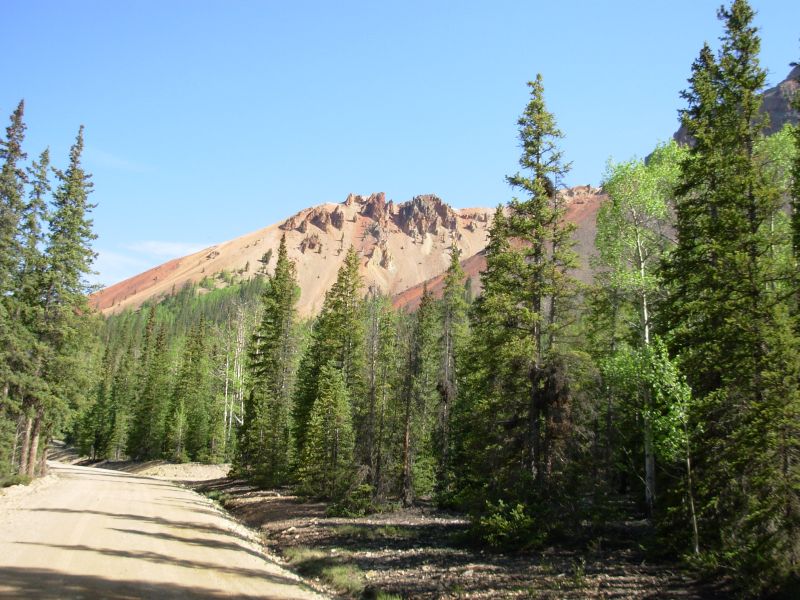
We had a quiet night, aside from the whine of mosquitoes. The clouds lingered, but we had no more rain, just dew. The hike to Elwood Pass was easy, gently climbing on dirt roads for about nine miles. The mountains were beautiful: big red Lookout Mountain, gray Prospect Mountain, then views of the peaks along the Divide that we bypassed: Summit and Montezuma, still very white with snow. We had the road to ourselves until the last half hour, when two cars passed us. One stopped to ask if we needed water, but we had just filled up at a roadside stream. I appreciated the thought though. We saw a mule deer bounding into the trees, and a beaver at a pond below the trail, as well as an incredible swarm of mosquitoes by a small lake. Every step disturbed hundreds. We sped through, waving our arms. Fortunately the affected area was small, only a few hundred yards. Clouds massed, dark and threatening, then vanished at lunchtime. The wind is cold and there are more clouds to the south.

This section bounces from 11,000 to 11,900. The worst snow is above 12,000, but there are patches in the trees and on north-facing slopes. Our hope is that well be low enough to get through. If not, there are a couple of bailout points we can use.
Soon after lunch, the clouds returned, the wind picked up, thunder rumbled and eventually rain and hail began. We ducked into a copse of trees, since the trail was about to head out into the open again. Twenty minutes later, the sun was back and the wind settled down, so we set out again.
Around 4:30, it started again: just a few drops of rain and no lightning, but fierce winds. Since we were about to start across a talus slope, we again ducked behind a tree to wait until the winds eased.
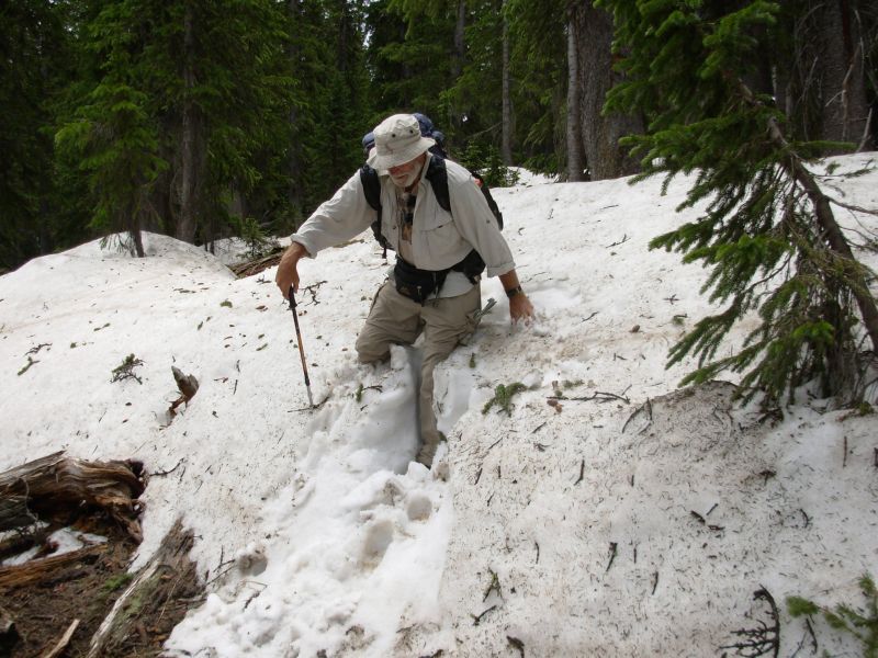
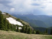
As it was, while crossing a snow chute I was pushed off my feet. That was scary. There were a couple of snow chutes at the end of the day, but most of the snow wasnt that bad. We could either detour around or posthole less than knee deep through most of the drifts. It was slow going in places, but there was also a lot of clear trail.
Scariest, for me, were some of the scree slopes. They were perfectly dry, but soft and in some places really narrow. There were places where the sidehill was only about four inches wide. With a 500 drop below, I got terrified. Mostly the sidehill was okay, but there were enough narrow spots to create a real case of nerves. When we hit the snow chutes later, I was a basket case. Fortunately, Jim is very patient with me when I get scared.
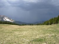
The views were stupendous when we were out in the open, especially with the dramatic black clouds behind the ridges. There were some wet green meadows and lots of spruce forest, which I didnt appreciate as much as usual because of the snow drifts in the trees.
We were fortunate to be following someones fresh tracks. We could tell how deep the postholing went and he/she was good at scouting detours. No animals this afternoon. There might have been some, but I was too busy focusing on sidehill and snow drifts to look out as often as Id like. We camped at Silver Pass in a meadow below the trees. It rained just as we were finishing supper, again in the night and early morning. A deer came to browse in the meadow but was scared off by our flapping tent.
Jim: There was a considerable amount (several miles) of very narrow sidehill trail today - all of it high on the ridge with enough drop to do some real damage if you fell. The sidehill is to be expected. What made it especially "interesting" was the 10-30 mph winds with frequent 40-50 mph gusts. Ginny had good reason to be scared.
It was a beautiful, but very dangerous day.
June 8 8 miles to Pagosa Springs.
As we ate breakfast, a lone wispy cloud sprinkled on us out of an otherwise blue sky. Then we headed through the trees toward Wolf Creek Pass and our next resupply at Pagosa Springs. Parts of the trail were clear and easy to follow, parts were a mess of downed trees and snowdrifts. We did a lot of bushwhacking around the problem areas. Happiness was reaching the open divide and hiking in the clear again. It took five hours to hike eight miles.
About two miles from the pass, it got very dark, thunder boomed right next to us and the skies opened, pouring down rain and hail. Nothing like bushwhacking through the trees around snow banks in a deluge. There was a lot of snow in the trees near the pass. We could see a snow-free ski run nearby, but assumed it headed away from the trail to the lift. Instead the two ran parallel for at least a mile. That was a bit frustrating.
The storm was a real surprise. Weve had clouds every day for two weeks and had occasional light sprinkles, but today was a real gully washer, cold soaking rain with very close lightning. It was a bit scary.
When we reached the pass I spotted a car waiting out the downpour. I walked up to the car, knocked on the window and asked, Could you please take us to Pagosa Springs? What could they say? They cleared room in the back seat, finished their picnic lunch, waited for the rain to lighten up and drove us to town. Hurray! A van pulled up while they were making room for us. The driver asked, Is everything all right? We said Yes, but would it be possible to get a ride to town with you, since you have more room? He refused, stating that he didnt have enough seats for us. I said Id take the floor, but he drove off. Odd. He may have been a cop who thought we were harassing the couple in the car.
By the time we reached town the rain was almost done, so we checked into a motel and ran next door for a late lunch. Turns out the footsteps we were following were those of John Brennan, aka Cupcake. He hiked half the trail in 2004 and came back this year to finish up New Mexico and Colorado. He checked in to the motel this morning. Ids group arrived yesterday. They are driving up to Wyoming with Nona and Del.
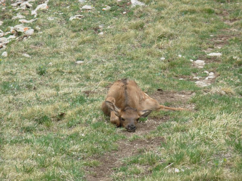
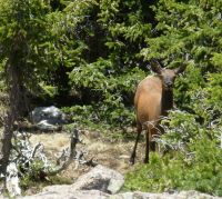
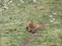
The best part of today, aside from the ride to town with the very nice couple from Fort Collins, was seeing a baby elk, dark brown with light spots, lying on the trail. It didnt move as we circled around it, but it was alive. We didnt see mama. She must have been hiding in the bushes
Jim: The weather, from the top of the ridge all the way to Wolf Creek Pass, was just total crap. We were both completely soaked by the time we got to the pass. My hands were so frozen as to be nearly useless and Ginny was just as bad. Even so, she surprised me by knocking on the car window. Desperation is a great motivator.
The baby elk was truly a baby - a newborn elk can follow mama within an hour or so of birth. This one wasn't even capable of walking yet so it was probably only minutes out of the womb when we found it. Even so, instinct told it to freeze - and it did. It didn't even blink. We took some pictures as we went around it, but we didn't dally. The longer it took us to clear the area, the less likely it was that mama would come back to reclaim Junior.
June 9 Rest day in Pagosa Springs

Jim: We finished most of the usual chores (laundry, shower, resupply, Post Office, etc.) yesterday, so today was actually a "rest" day of sorts. Breakfast with John, talked to Id and Co., second breakfast, Internet, lunch, outdoor store, second lunch, read, dinner, read some more, second dinner, then to bed.
Home | Links| Trail Journals |
The Thruhiking Papers | Bun-bun
Created: Dec 2006
Revised: 30 Sept 2016Copyright © 2006-2017 Spirit Eagle