|
 |
 |
 |
 |
|
|
|
|
|
|
May 31: 8.3 miles Mojave - PCT mile 566.6
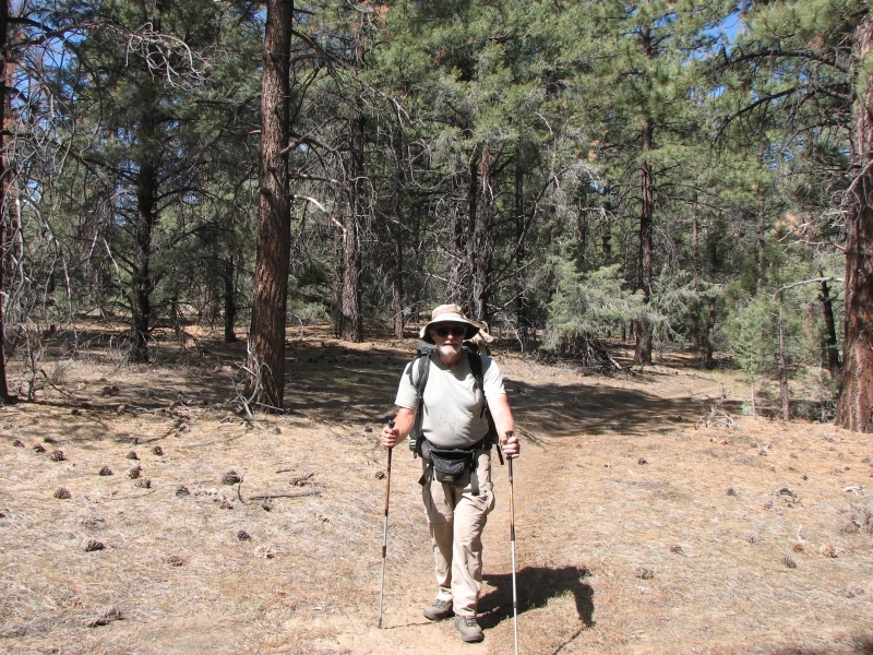
Yesterday I suggested to HikeOn and Free Spirit that we walk the eight miles between Tehachapi Willow Springs Road and Route 58 without our packs. There are two roads that lead to town. We came in at the first, Tehachapi Willow Springs Road, but its 24 miles from there to the next water source. Id rather not have to do that kind of mileage with a heavy food and water load. By hiking this section today, well only have to do 16 miles when we leave town. Also, there is a bus that stops at the trailhead on Route 58, which means we dont have to hitch out of town. Im always happier to avoid hitchhiking when possible.
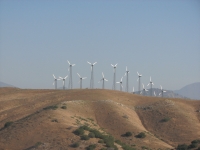
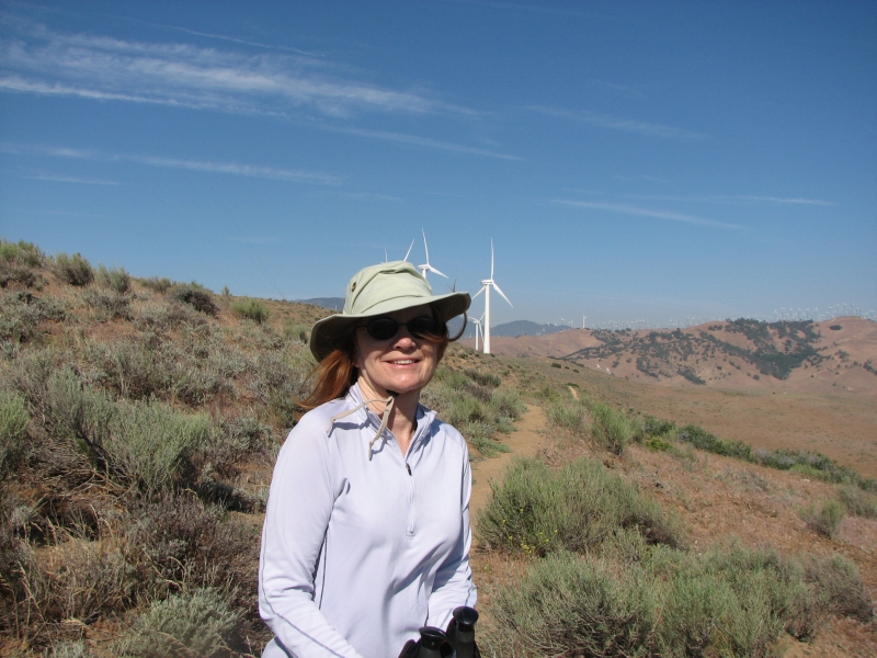
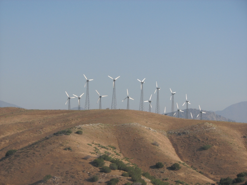
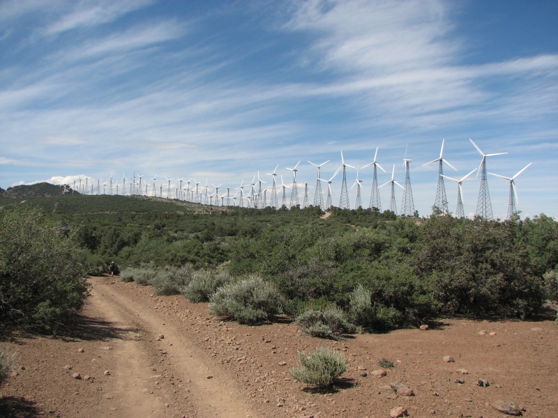
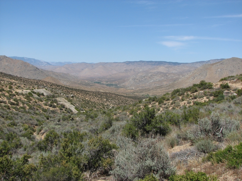
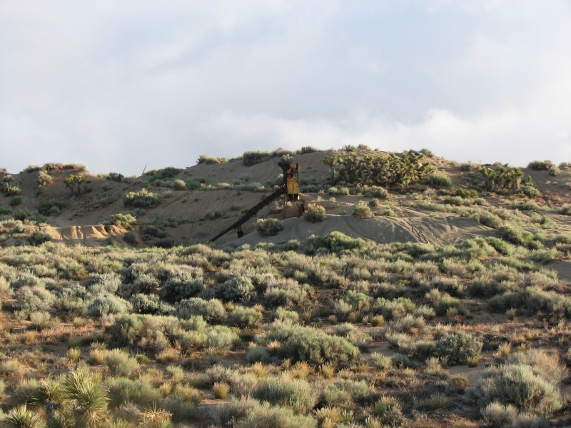
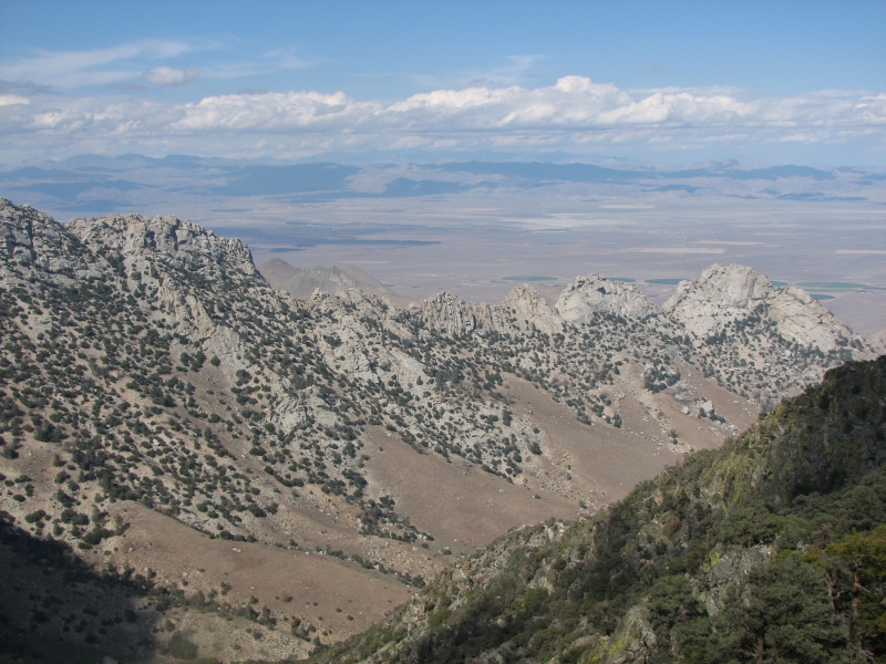
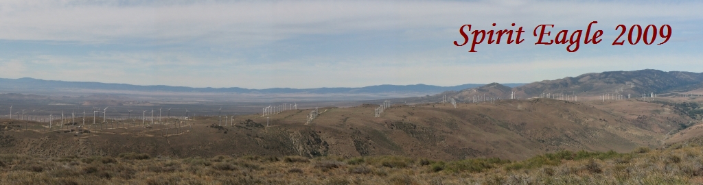
HikeOn wanted an early start, so we met at 6:00, got a quick breakfast at MacDonalds, dropped the two of them at Tehachapi Willow Springs Road and then drove Free Spirits car to the trailhead on Route 58 and walked back, exchanging the key midway. We were all back in town before 11:00. It felt good to walk unburdened, though my shin splints protested at the quicker pace. The trail in that section is easy as it passes a couple of cattle ranches and a large wind farm. This whole area is covered with huge wind turbines ugly monsters. They reminded me somehow of a military graveyard with hundreds of white crosses, or in this case, white propellers. Theyre big and noisy and cover the desert for miles and miles. This area has nearly constant wind, so it is a natural location for wind energy, but the acreage has grown considerably since we were here nine years ago.
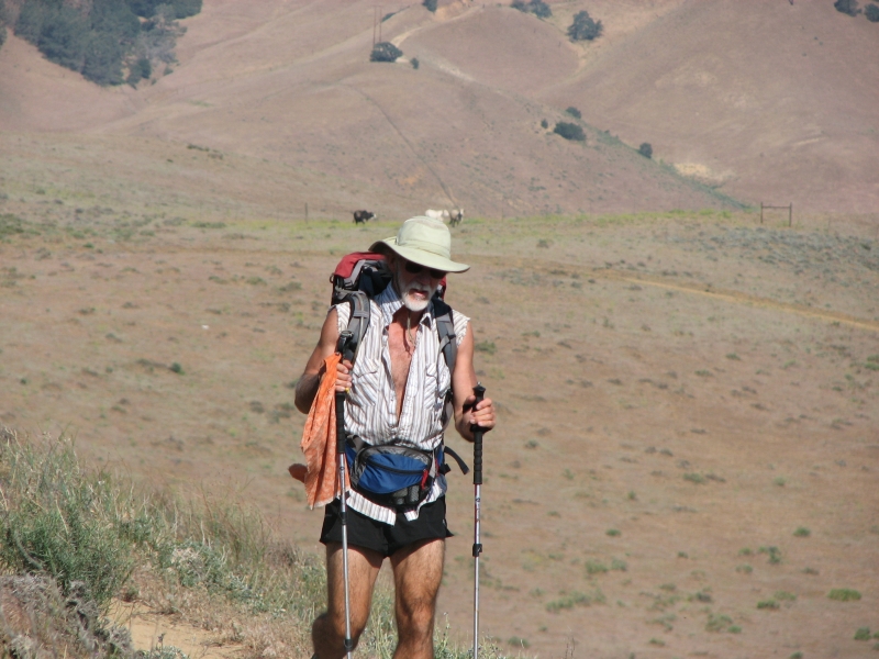
We spent the afternoon resting and icing our legs. Jim is worried about his knee and foot. He has a big blood blister under the callus of his right foot that is causing a lot of pain when he walks. His knee pain is intermittent, but gets really bad when we do big mileage. For the first time he is expressing doubts about finishing the trail. Thats worrisome. I have mixed feelings. I am enjoying this hike much more than our last PCT foray. At the same time, both of our bodies are having a hard time with the big miles needed to hike this trail. We are fine with sixteen mile days. But more than 20 miles a day hurts, a lot. Are we getting old? Older, for sure. It is depressing to be passed by so many other hikers and to know we cant keep up with our friends out here. Weve passed a few other hikers, but not many. A lot of the hikers that weve met along the way are now days ahead of us. Our alternate route cut off some miles, and not staying at the Andersons put us a little bit ahead of the crowd, but were still not able to keep up with most of the other hikers. Lake pulled into town this afternoon, looking completely beat. He is suffering from dehydration and possibly Giardia. He plans to see a doctor here. He said that Krewzer has a foot injury (plantar fascitis) and is probably getting off the trail. We arent the only ones having a hard time out here.
June 1 Another rest day in Mojave
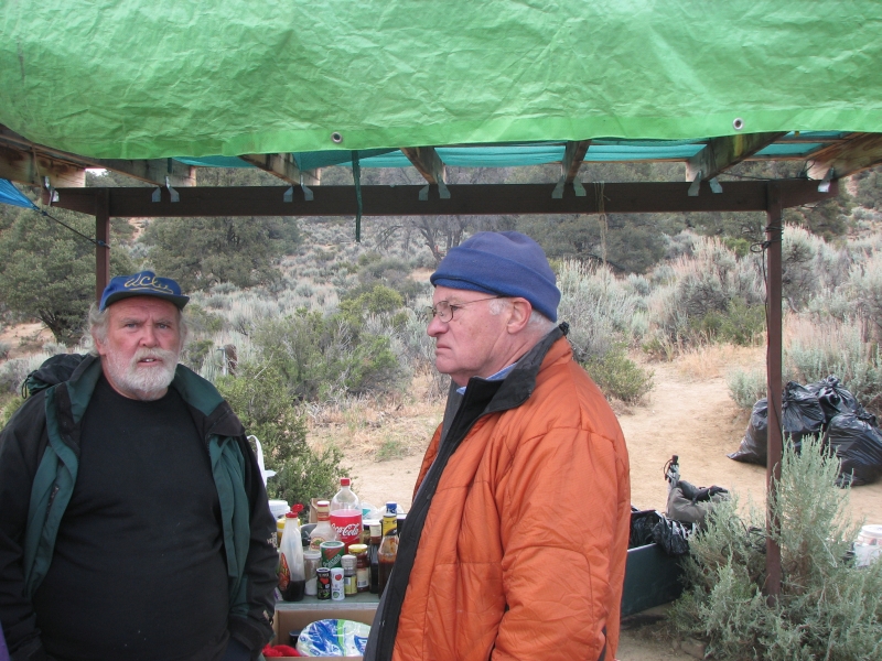
We intended to leave town, but when it was time to get up, neither of us had the desire to move. We decided that another day of rest and ice would do more good than leaving before we were ready. HikeOn and Free Spirit also stayed. Theyre trying to arrange a shuttle from Kennedy Meadows back here, so they can leave the car at the store so it will be available in case she needs to leave the trail again. We saw a few other hikers in town: Tamsin, Vegemite, Scott, Lint and Pawee but that was all. Many PCTers go to the town of Tehachapi, which is about the same distance from the trail. It is supposed to be prettier, with better restaurants, but its more spread out and more expensive. Im glad we came to Mojave. Id rather spend $40 for a motel than $80 or so, especially since weve stayed so long.
June 2: 16.8 miles to Golden Oaks Spring PCT mile 583.4
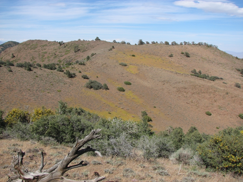
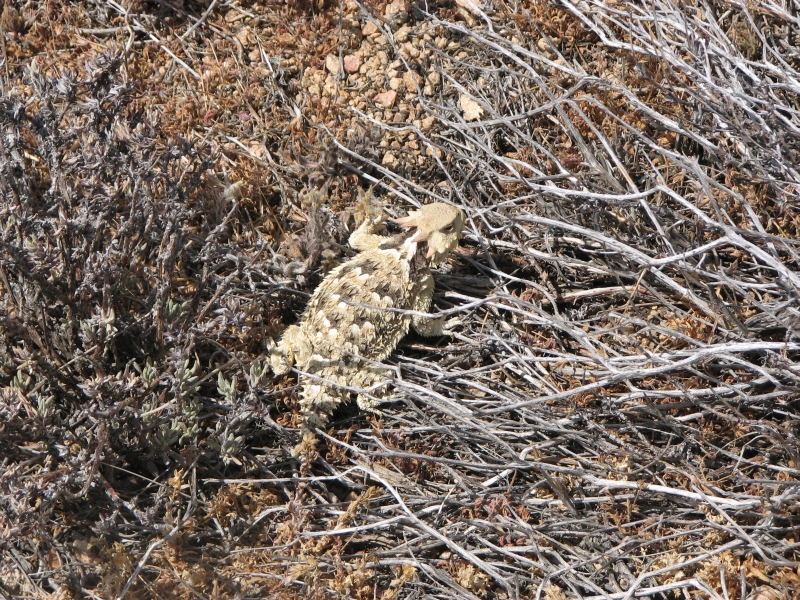
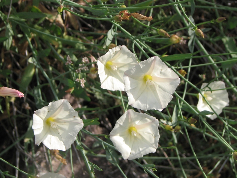
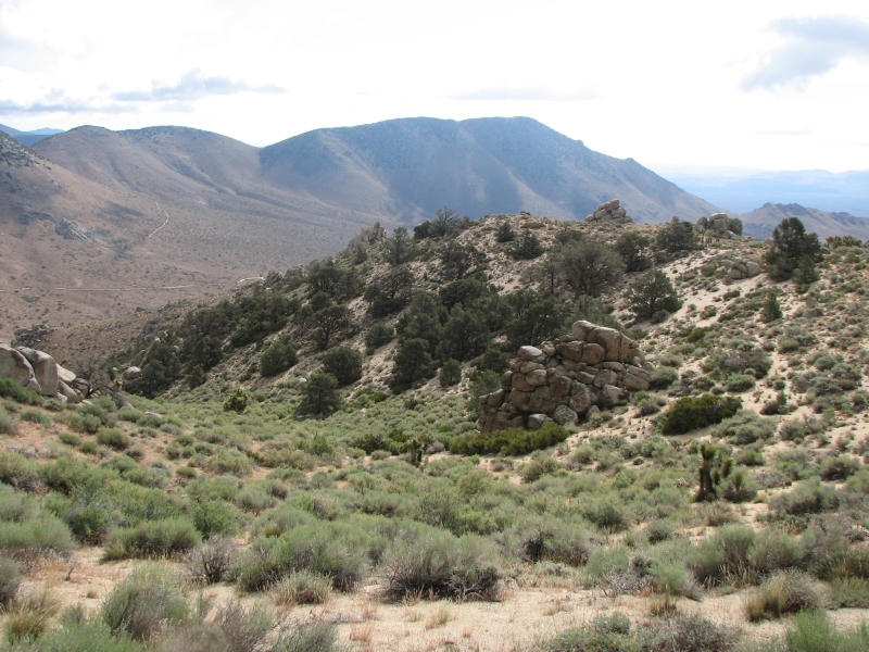
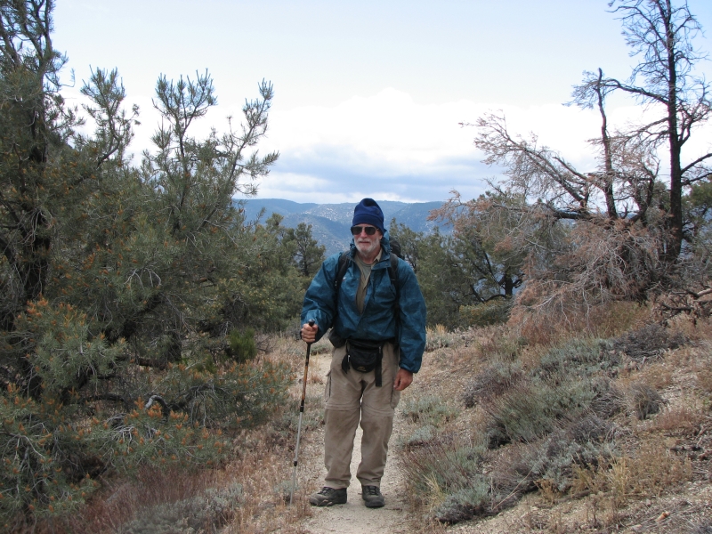
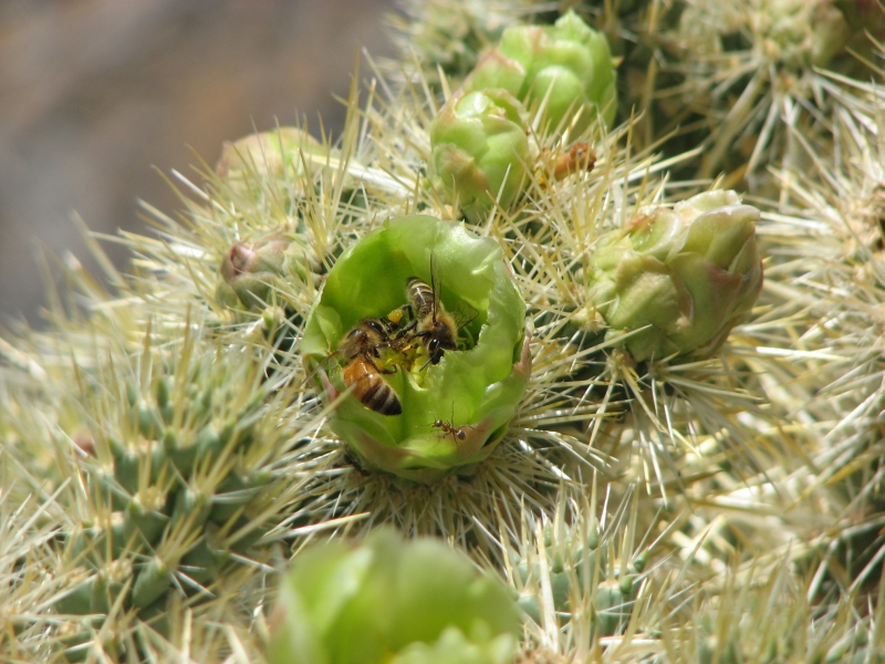
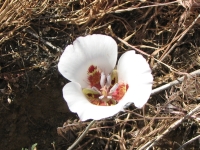
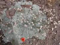
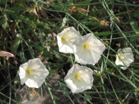
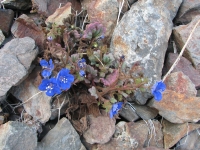
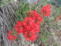
We finally left town on the 7:30 bus to Bakersfield. We were dropped off where we left the trail two days ago and began the long climb out of Tehachapi Pass into the mountains. It was a nice hike, with great views in all directions. We saw wind turbines, mines, green fields, the towns of Mojave and Tehachapi, multi-colored canyons, desert, pine and pinyon groves, mountains to the north and sandy desert to the south. Smoke from a fire rose to the light cirrus-covered sky. There has been a cool marine layer over Southern California for several days, so the temperatures are at least 10 degrees cooler than normal. Nice for us. It still feels warm in the sun, but the shade is nice and the winds feel cool. I enjoyed the many desert flowers: orange mariposa, white yucca, and pink prickly pear, as well as the many lizards and horny toads. We saw bear scat on the trail. We know they are out here.
I am excited to be starting this section. It is the gateway to the Sierras. Our next town wont be for almost two weeks. The first few days will still be hot and dry, but when we climb into the big mountains, the trail will change. Im happy!
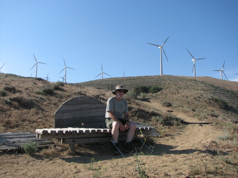
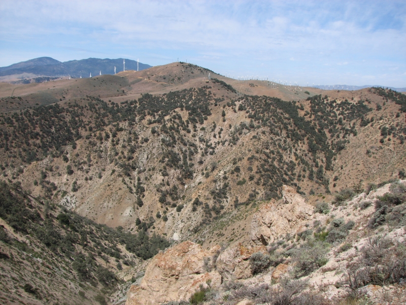
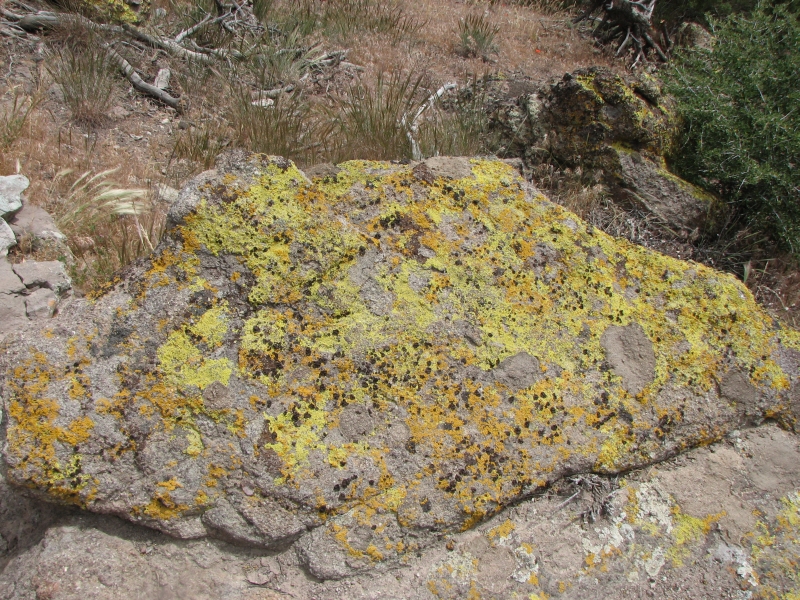
It was hard climbing out of the pass with eight days food and a gallon of water, but worth it, I think. For a while we even had a real crest walk, with views off the sides to two pretty canyons. Nice! When we reached the top of the ridge, we picked up an old jeep road which we followed steeply downhill for a few miles. It was a painful descent. Then we wound in and out of side canyons more or less at contour for a few miles. When Jim and I reached Golden Oaks Spring, we decided wed had enough and set up camp on the slanted bench. Pilgrim passed us mid-afternoon and we met a couple of section hikers camped at the spring. One had really bad blisters, so we gave them some toe bandages and encouragement. We had intended to keep going but we were tired and sore and the trail continues to be sidehill for a few miles. The trail today had some pretty views of colorful rocks, lichen-covered boulders, pines and oak groves. We passed a couple more small windmill farms. The campsite is within sight and sound of more turbines. Its a small camp area next to the spring, but in the end 11 of us lined up in a row, including Tamsin, Rockstar, Vegemite, Lime Green Jellybean, Chuck, Pilgrim, the section hikers and us. Spiders were abundant, which made Tamsin nervous since we were all sleeping out without tents.
June 3: 18.9 miles to Robin Bird Spring PCT mile 602.2
Pilgrim and Rob were off before light, the others soon after. They have gotten into doing big miles: yesterday was a 25 mile day for all the other hikers, yet most were in camp by 6:00 pm. I dont see the necessity of hiking that hard. Starting at 4:00 a.m. isnt really necessary unless its really hot. It makes sense in the desert, where you hole up for a couple of hours in the middle of the day, but at this altitude I dont see the necessity. Fourteen hours of hiking is too much for us, though a lot of the hikers do it. Ill miss Pilgrim and Krewzer and Rob and the rest. Weve ended up spending more time with them all than I expected. They hike faster and farther, but town stops gather us back together. Since we wont be stopping again in town until Independence, I doubt well be able to keep up. Of course, that just means well get to meet the group behind us. One advantage of being slow you get to meet a lot of people.
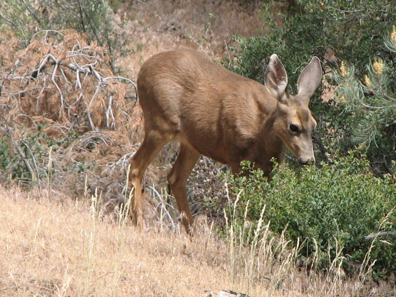
We woke to dark clouds and soon after we packed up it began to rain and hail. That didnt last long, but it was certainly a surprise. The sun came and went all morning, but by noon it was dark and very windy. We ate lunch early because we expected the rain to start any moment and besides, I wanted a short break. A grove of trees provided a bit of shelter. It was a nice walk, mostly contouring around the ridges with views of the many windmills, a pretty valley to the east and the Paiute Mountains to the north . Were hiking at 5-6000, so there are pine and oak trees, mixed with some areas of sage and cactus and desert wildflowers. There have been some really nice lush shady groves of black oaks and pines. We saw a deer grazing beside the trail that allowed us to take its picture. We tried to get photos of a big black and gray ridge to our left and Jawbone Valley, but I doubt the photos will do them justice. They rarely do.
It sprinkled as we ate lunch and continued to rain off and on until after 5:00. It never rained hard, but we still got wet and it felt very cold. We hadnt intended to stop early, but we were cold enough we decided to get into our warm bags and dry tent when we reached Robin Bird Spring. Of course, it stopped raining as soon as we put up the tent. When we got to the spring tonight, I was surprised to see Pilgrim and Rob in their tents. They stopped when it began to rain and ended up staying put all afternoon. Pilgrim admitted that he was sore from yesterdays big hike. We may end up with almost as big a crowd as we had last night. Fortunately, Jim and I found a nice isolated campsite up the hill a bit. There are the remains of a couple of old buildings that have nice flat surfaces to camp on. Much better than the slope near the water.
Today was a nice hike, despite the rain. There were a lot of diverse environments, from sagebrush meadow to Jeffrey pine forest with lush green grass. We saw cows on the open areas and a dead bear beside the trail and heard other cows lowing in the brush. Mid-afternoon we spotted a young black bear in the trees. It ran before we got out the camera. I enjoyed hearing birdsong again since there were few near the windmills and weve been around windmills for several days now. There was a noisy frog (or more than one) in the spring last night. I thought it would keep me awake, but I was asleep before dark. The hiking life does that to you.
June 4: 21.6 miles to road junction at 623.8
It was a cold night, but we were warm and snug in our tent. Another hiker tried to set up next to us, but admitted she didnt know how to set up her tent so she ended up moving elsewhere. She hiked the trail (or a large part of it) last year, and always found somebody to put up the tent for her or else she slept out. She said she set it up once, at home, with instructions in hand, but hadnt tried it again since. That really amazed me. It wasnt raining, so she wasnt in danger if she gave up and slept out, but she really needs to figure it out before she gets into the Sierras. Several people were camped by the lower spring, but we had a peaceful night at the upper end.
Most of the hikers passed us early this morning. Its dispiriting to be so slow. Everyone just zips by. Most well never see again. Jim said he doesnt feel like a thruhiker because we cant do the pace or the miles that thruhikers do on this trail. Hes feeling very discouraged between the knee, the foot, and a new enormous blister on his second toe that lifted the toenail painfully. Can we manage the snow and snowmelt and steep climbs in the Sierras? Do we want to?
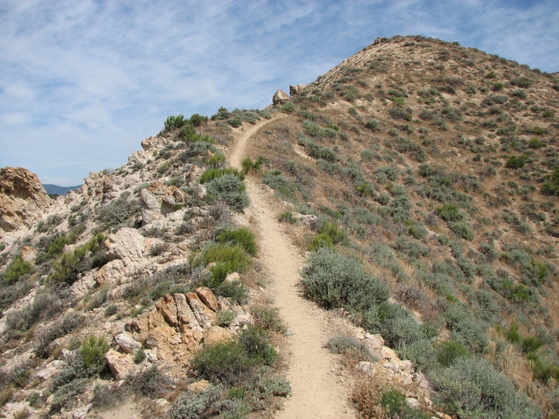
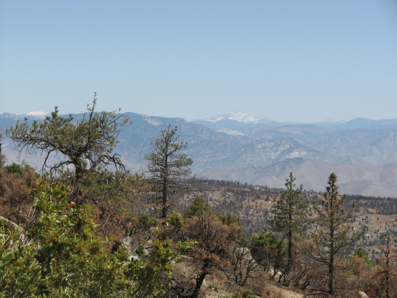
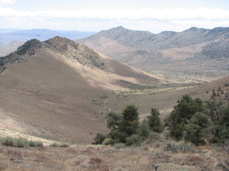
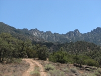
The first five miles was in ponderosa pine forest with several small streams and springs. Then we climbed through three miles of recently burned forest, past some big boulder areas, then began a long descent to desert again. I hated this section last time, but I think today and tomorrow will be easier because: 1) its cooler and 2) we know there are two water caches to break up the 35 mile waterless stretch. Assuming the hordes of hikers dont empty them before we arrive, we should be okay. We can see several tall peaks to the north along our route this week. Two are covered in snow. Thats a surprise.
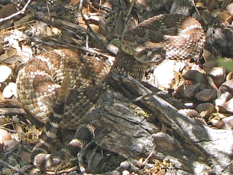
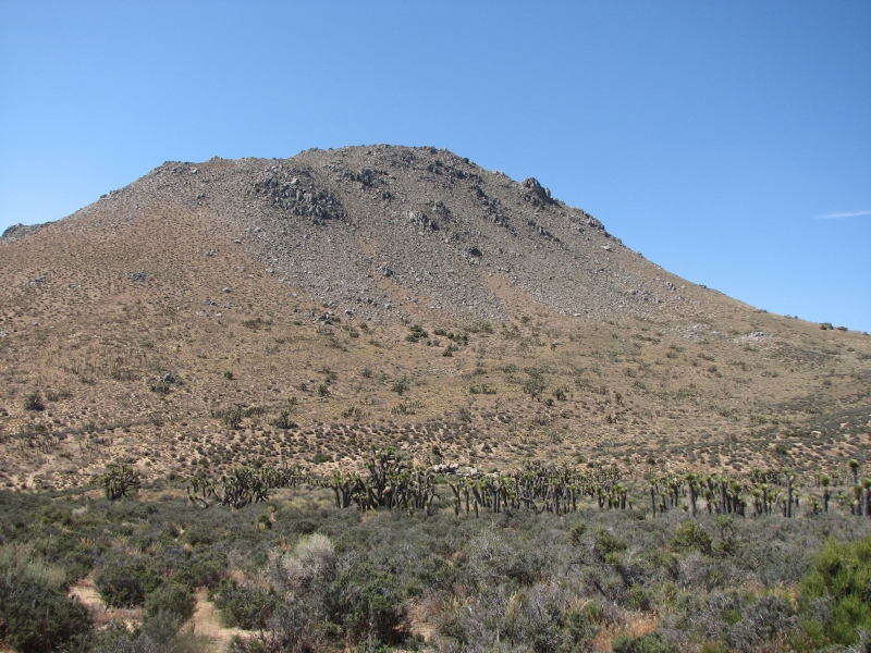
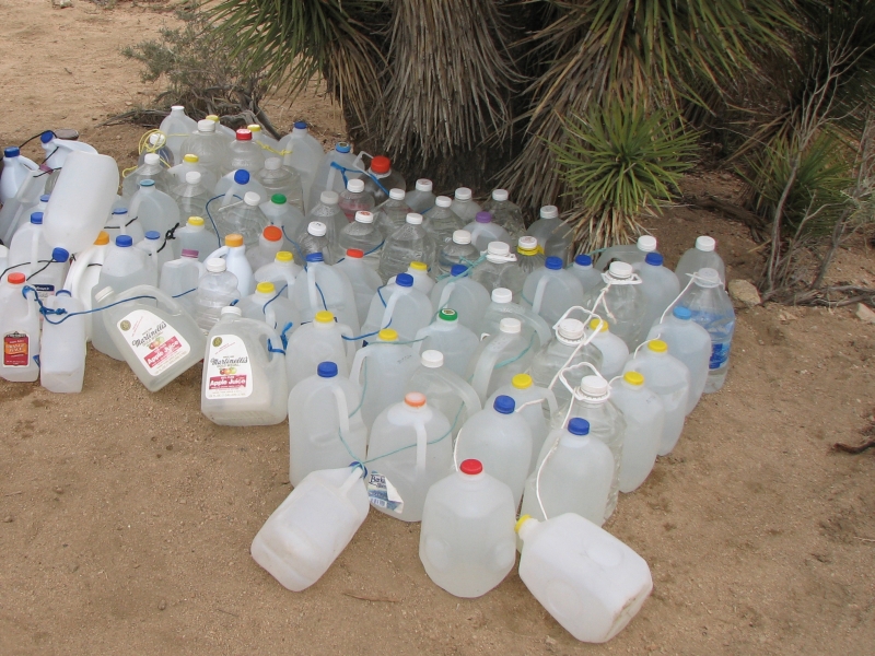
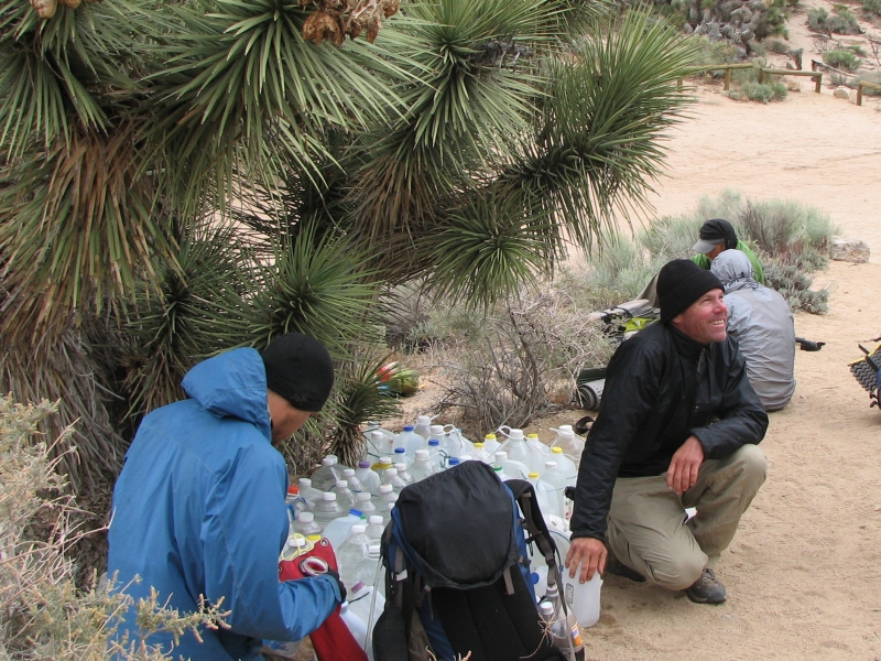
The shade continued until we reached the water cache at Kelso Valley Road, then we were back in real desert again: sage, rabbitbush and lots of Joshua trees. Today isnt terribly hot around 80 I think, but hiking in the sun carrying a gallon of water made me feel hot and dry. We drank a lot of water as Jim and I headed east then north around Pinyon Mountain and Mayan peak. Eventually we reached some pinyon pines which provided some welcome shade. We stopped for the day at a saddle where several jeep roads meet. Its windy, but it has a flat spot in the shade of a Joshua tree, so it will do. I doubt well get any traffic on the roads tonight. We saw three motorbikes early on one of the many ATV and bike tracks that lace this area. The motorbikes have made a real mess here. We also saw a small (15) reddish rattlesnake. It was stretched across the trail, but it coiled and rattled when we approached. It soon moved off the trail, fortunately. There was lots of water at the cache 50 or more bottles so we filled up. A man called Shorty was waiting for Rockstar, but gave up soon after we arrived. Hes providing trail support for Lime Green Jelly Bean, a high mileage hiker we met yesterday morning.
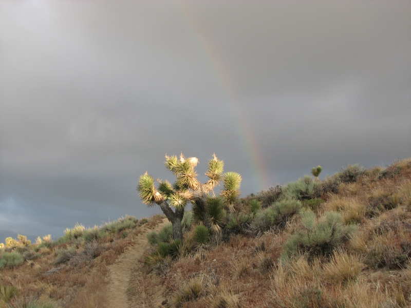
June 5: 20.3 miles to McIvers Spring
It was a strange morning, not at all what we expected from June in the desert. We rose with the sun, enjoying the view of small pink clouds to the east. Then we turned around and saw big black clouds hovering over the mountains to the north and west. Jim and I packed up quickly. We slept little last night, largely because we were cold. We had slept out and our bags were damp from dew, so the wind just cut through the fabric. Getting up was hard since it was so cold outside. When the sun rose, the wind picked up, cold and blustery. There was a nice half rainbow to the west as we started out and we felt a few sprinkles. The trail climbed up and down beside a ridge for a while, so we got intermittent shelter from the gusts when we were on the lee side. We picked up a couple quarts of water at a large cache at Bird Spring Pass. Seven hikers were there at the time. Most were rushing to Onyx to get a mail drop before the weekend. We camped with a new couple last night but didnt talk much since we were already in bed when they arrived.
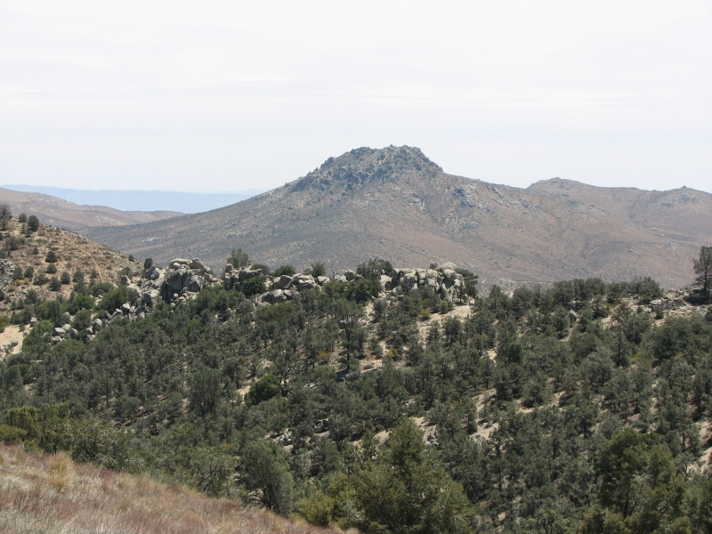
Theres a big climb out of Bird Spring Pass, today made more difficult by the wind that tried to knock us off the trail. The wind was cold but we were sweating from the climb. Occasional sprinkles barely got us damp. We stopped for an early lunch at the top of the ridge, in the shelter of some trees. The next few miles were pleasant easy walking through a forest of pinyons and golden oaks. We dropped, then climbed gently, then undulated around a ridge. The last two miles were through an old burn where the brush had grown back but there were few live trees, just black stumps. I enjoyed all the flowering shrubs though. We followed a rough jeep track the last two miles and were surprised to be passed by a pickup heading to the cabin at McIvers Spring. When we arrived at the cabin we met the two men in the truck, who were locals out for an afternoon in the mountains. One man had never been there before, and was really happy to be outdoors. They shared some snacks with the hikers getting water at the spring, talked to us for a while, then drove back to town.
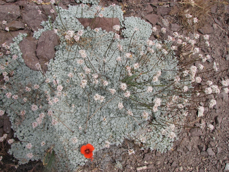
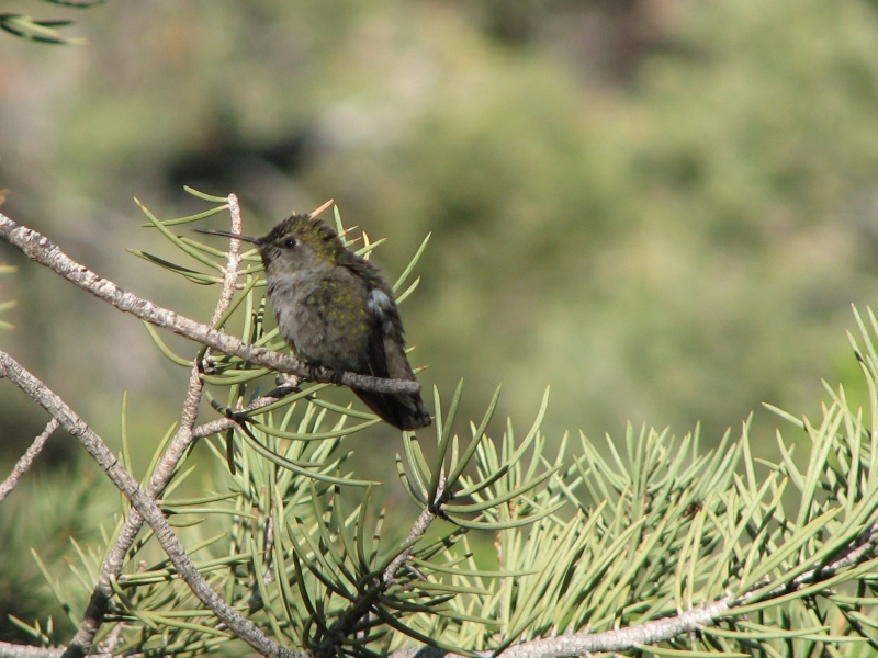
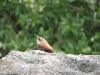
After they left, I washed up a bit despite the cold, then made dinner in the lee side of the cabin. We spread our sleeping bags out in the sun to dry. The wind blew fiercely all day. Clouds scuttled by, but we never got any serious rain. Most of the hikers picked up some water, then continued eight more miles to Walker Pass where there is supposed to be a group doing trail magic for the hikers. Rockstar showed up around 5:30 and Mawee and Pawee arrived a bit later. There are few flat spots near the cabin for camping, but water is abundant and in a pinch you could sleep inside, but we spread out in the parking area, despite the slope. Theres an outhouse - something we havent seen for a while. A hummingbird posed for me on a branch, scratching itself and preening. We see a lot of hummingbirds out here. We had some nice views as we walked today: desert to the east, Lake Isabella and a green valley to the west. I dont enjoy seeing burnt trees, but with all the flowering shrubs, this is a nice time to hike here: yellow fremontia, white shrubs, blue and white lupine and larkspur, poppies and mariposa, paintbrush, etc. Spring in the desert is beautiful.
June 6: 20.25 miles to Joshua Tree Spring Mile 664.1
We woke to low clouds covering the cabin area and the ridge above. I slept badly because of the slope and didnt really want to get up to hike in the cold wet fog, but by 6:45 we were on our way. It was easy hiking, first in burned forest, then through pinyon oak groves, as we dropped down to Walker Pass. We had heard about a big hiker feed there this weekend, but evidently the main event was Friday night. There were about 40 people last night. We stopped at the campground at the pass and were happy to see Meadow Ed and Dave Porter, whom we had met when we hiked the trail in 2000. Weve seen Ed at several ALDHA Gatherings as well. They were among the trail angels who organized the feed. One of the Feed organizers packed up everything he brought soon after we arrived so we never got to meet him but we enjoyed our visit with Dave and Meadow Ed. Everyone sat bundled up around the fire. There were a few hikers, a few trail angels, and River who is still waiting for her stress fracture to heal. We enjoyed a donut, some fruit and soda. Meadow Ed said they intended to grill some sausages later that afternoon, but we decided not to wait. It was cold! We talked to Ed and Dave for an hour or two, filled our water bottles with good water, then headed up the trail. In a way it was hard to leave. It was a cold and windy day. The forecast is for thunderstorms the next few days and snow in the high country, where were headed. Rumor was that they had 8-12 inches of new snow in the mountains. So why are we climbing into the Sierras today? Our campsite tonight will be low, but we climb to 7000 this afternoon and 9000 in the next couple of days.
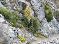
We ate lunch on a windy ridge, then climbed and climbed around Jenkins Peak and Owens Peak. It was a rougher hike than I remembered, with lots of rock slides and narrow rocky trail. Balancing on the loose scree was slow walking. The views were good toward the desert in the east and back to the mountains we just left. Clouds came and went all day and covered Owens Peak most of the afternoon. We climbed right into the cloud. The sun was very welcome when it appeared, since we were feeling the cold and wind. We saw several new flowers, including a Charlotte Phacelia, a Nolina Parryi in bloom and red thistles.
We were very happy to reach Joshua Tree Spring at 6:30, well before we expected it. Its a piped spring in an oak-filled ravine. The trail down to it is very steep and rocky. Jim wasnt happy with that descent. Fortunately there are several campsites in the ravine. Five other hikers joined us before dark.
June 7: 10 miles Kernville
Change of plans. Jim hurt both knees yesterday walking on the loose rocks. Today he is in a lot of pain and doesnt trust their stability. Every time Jim stepped wrong, he groaned. We decided to bail out. Jim didnt want to go back the way we came, and it was 18 miles by trail to the next road, so we decided to look for an alternative route. The map showed a dirt road out to the highway near our campsite, but we couldnt see it, so we hiked to another one that showed on the map about five miles ahead, a jeep track along Needle Creek. The trail climbed over a ridge then wound around the headwaters of the creek interminably. We could see the jeep track on the other side of the canyon, but it took a very long time to get near it. Then we couldnt find it. A sick hiker and her partner were camped near the trail. We talked to them for a few minutes. She offered us pain pills, we offered her pepto bismal both offers were rejected. She also offered use of her SPOT device to call for help, but Jim was adamant that hed rather crawl out. I decided to go search for the jeep track and the other hiker offered to come with me while Jim waited. A few minutes later I discovered a horse trail heading downstream. We followed it for about 1/3 mile, decided it was in good enough condition to be useful, then turned around and walked back to Jim. As it turns out, about 50 feet past our turnaround point the horse trail joined the jeep trail we had been looking for. It heads down canyon to Canebrake Road, which leads out to the highway. The jeep track goes through a horse ranch, but nobody was around when we passed the house and stables so we didnt get in trouble for trespassing.
We took a side track out to the highway, waking a sleeping coyote, then got a ride fairly quickly from Mark, a windsurfer from Ridgeway who was heading to Lake Isabella to play. He drove us all over looking for a decent motel with a phone (harder than youd think) and within easy walking distance of a restaurant. We ended up in Kernville, which is fairly compact. The motel is clean, but the room is tiny and dark and the phone doesnt work. It has laundry and hot showers, so at least were clean, but I dont think its worth the price. Kernville is a tourist town so pretty expensive. We got a welcome beer at the biker bar and dinner at Cheryls diner.
Were feeling very confused and depressed right now. We arent sure what to do next. Rest, ice, elevation, then what? Even if Jim feels better in a day or two, I dont think we can trust his knees in Sierra snow. Its harder to bail once we get into the Sierras. I think our hike is over, which is really disappointing. Ive been enjoying hiking the PCT this year. Not the 20 mile days and feeling old and slow, but spending time hiking and camping in such diverse environments, listening to the birds and the wind, seeing all the wildflowers, getting to know the other hikers and feeling part of the thruhiker community once again. It has been good.
Jim: When I got out of the tent this morning, I knew we were in trouble. OK - so "I" was in trouble. The first step I took told me that the right knee wasn't stable. Suspicion was that it was a torn meniscus, but the hope was that it would work itself out. In the past, I've walked out a number of major injuries. Unfortunately, that wasn't going to work out this time. So we spent 8 hours doing the 10-mile walk out to the highway. Not a pace that would get us to Canada before 2012. So it was time to back out and get it fixed. This is NOT happiness.
The trail angel (Mark) who gave us a ride into town and helped us find a motel was great. The barkeep in Kernville was great. The motel not so much. We haven't told anyone we're off-trail yet. Time enough for that later - after we give the knee a few days to decide whether I'll be able to keep going or not.
Home | Links| Trail Journals |
The Thruhiking Papers | Bun-bun |
Created: October 2009
Revised: 30 Sept 2016Copyright © 2009-2017 Spirit Eagle