|
 |
 |
 |
 |
|
|
|
|
|
|
May 25: Rest day in Agua Dulce
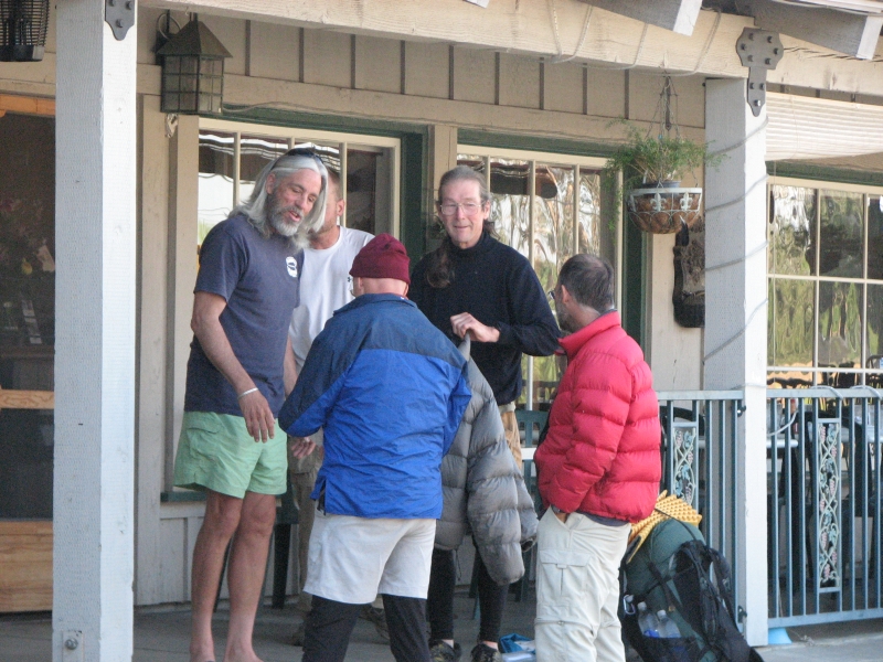
We decided to take a zero day to rest our feet and legs. We ate breakfast at the grocery since the café was closed, then bought groceries for the next stretch between Agua Dulce and Mojave. Its an expensive little store, but has a pretty good selection. There was thick fog when we woke up, but it burned off late this morning. It would have been a good day to hike, since the trail is pretty exposed north of here. We read and talked most of the day. I went to Wal-Mart to pick up a few things we didnt find at the grocery. A local trail angel drove four of us around. Helen was amazingly helpful to the hiker hordes here, driving people to grocery stores and even all the way to REI, which was at least an hour away.
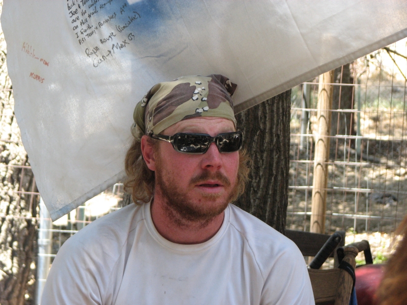
A lot of the hikers left this morning, but were replaced by a new group. We knew a couple of the new hikers, Big John and Hawkeye, and I met several others, but I ended up feeling overwhelmed by the large group of strangers, hence my willingness to escape to Wal-Mart instead of just hanging out again. Last time we hiked the PCT, we were a week ahead of the crowd. Although we met a lot of hikers, compared to the CDT, it was nothing like the number of other hikers weve seen this year. The horde of hikers makes for a very different experience. Mostly its good, but sometimes not. We plan to return to the trail tomorrow. Mentally, Im ready, though Im not sure about my feet and shins.
May 26: 19.4 miles to ridge at 473.8
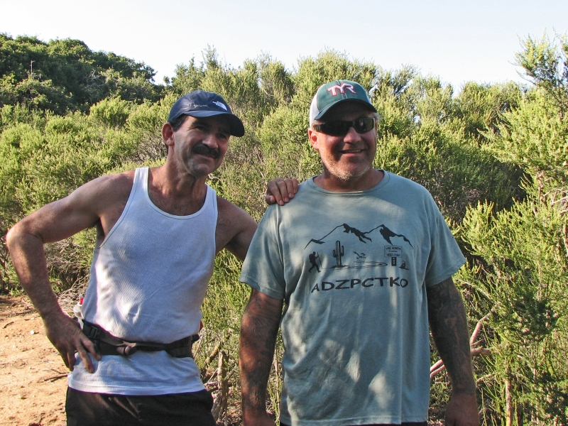
We enjoyed our stay in Agua Dulce, but we were both anxious to leave. It was too noisy to sleep last night, and we werent tired enough to ignore it as we did our first night. All the new people made me feel claustrophobic. I talked with a few, but ended up going to bed early. We were awake before dawn, but couldnt go to breakfast until the cafe opened at 7:00, so ended up waiting with a dozen hikers for the right time to leave. We enjoyed a leisurely and fun meal with Chuck, Larry, Pilgrim, Krewzer, Vegemite and Tamsin, then set off up the road at 8:15. A wrong turn slowed us down, so Jim and I ended up at the tail of the parade, slowly climbing the ridge north of town.
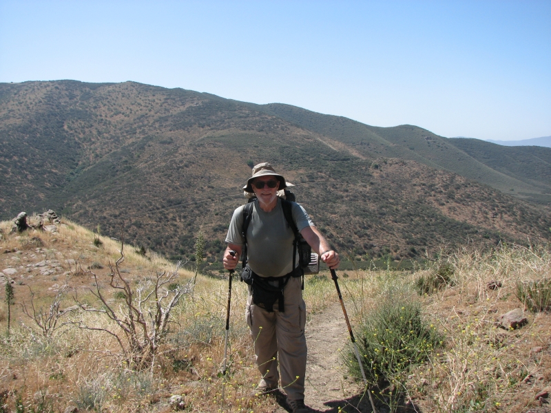
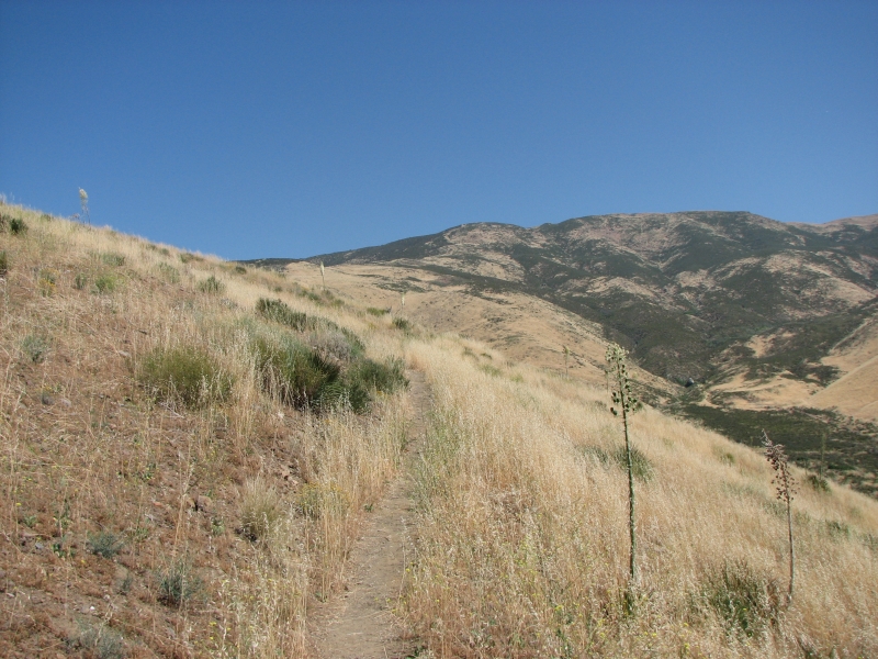
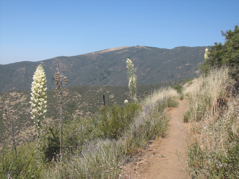
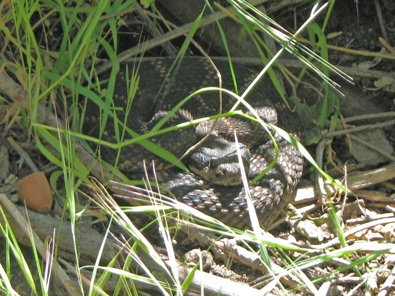
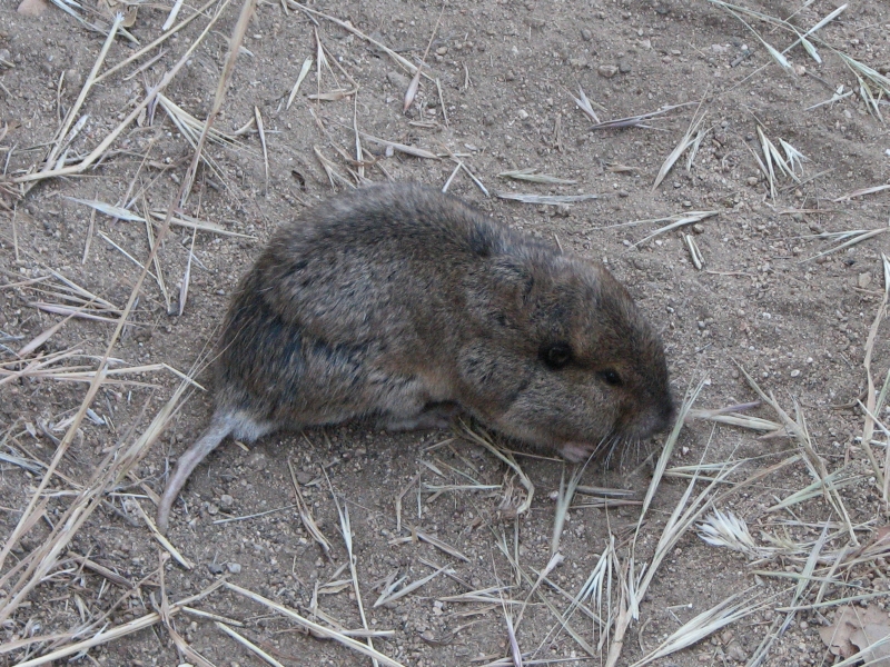
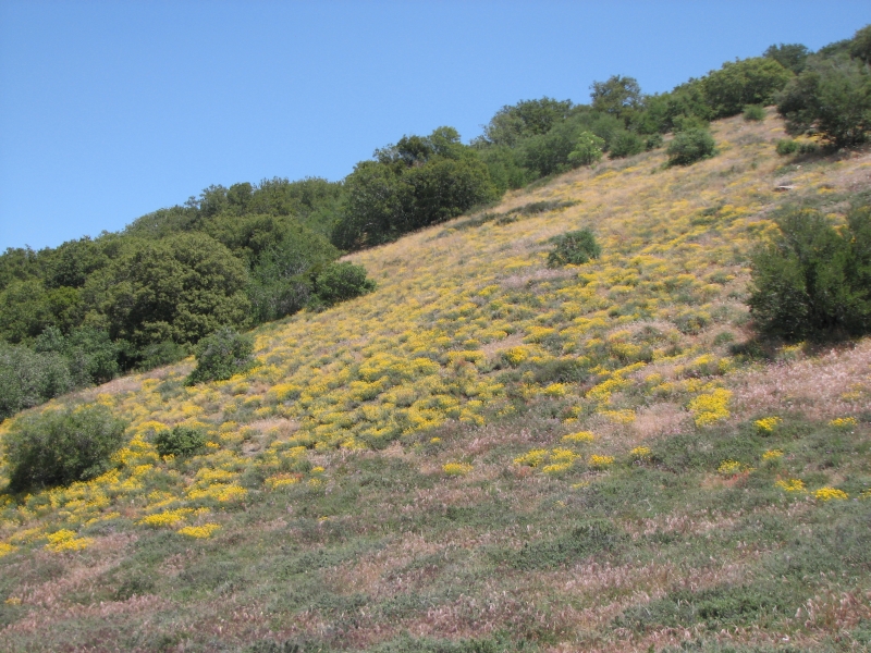
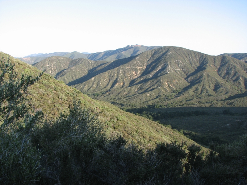
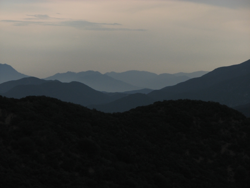
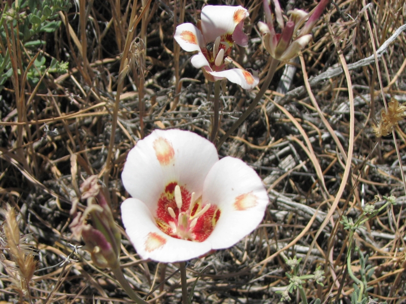
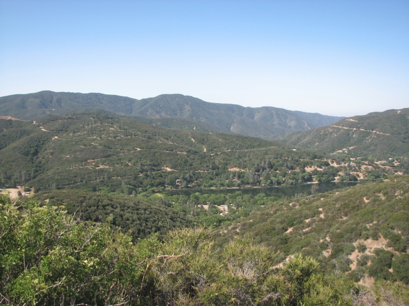
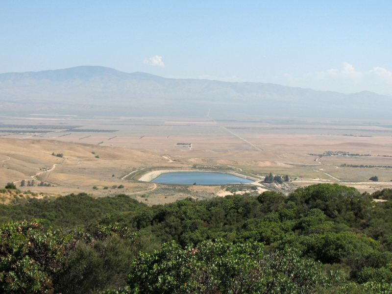
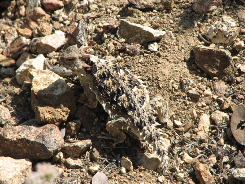
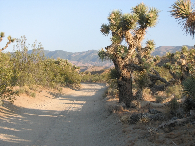
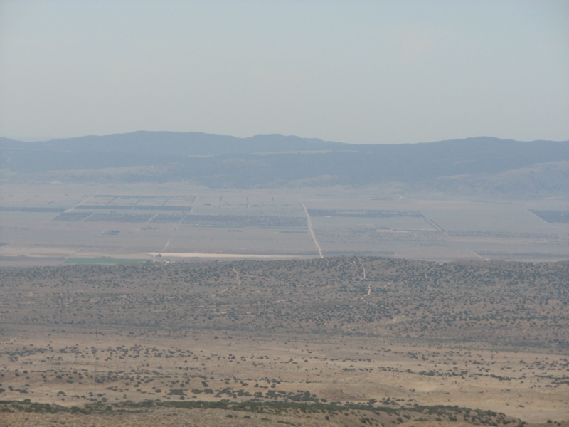
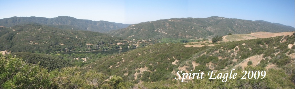
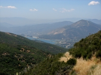
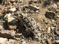
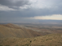
It was a hot and smoggy day. We couldnt even see Vasquez Rocks from the ridge. There were lots of nice wildflowers, including yellow and pink mariposa. We ate lunch in a shady bower atop the ridge. We were both slow from the heat, too much food on our backs and in our bellies. We did indulge a bit too much in Agua Dulce. The trail was a bit of a roller coaster: 1800 up, 1000 down, 1000 up then 500 down as we wound through brushy hills. Views were limited because of the smog, though the azure waters of Bouquet Reservoir were attractive. We knew we were going to be able to pick up water at two separate caches, so we didnt carry as much as we should have. The second cache had a cooler with beer and sodas, lawn chairs and Halloween decorations. Tattoo Joe and Geraldo ran past us, then stopped to visit the hikers sitting at the cache. Geraldo maintains a water cache farther up the trail, while Joe hikes and runs a lot on the trail. We caught up with the group at the cache, but they soon moved on. We spotted a black rattlesnake asleep in the brush, several horny toads and a brown gopher eating in the middle of the trail that ignored us completely as we stepped over him. We ended up camping on a side fire road/ATV trail next to the PCT. We had hoped to go farther, but we were slow and hurting after two days off. Jim has chaffing and I got sunburned. Both of us have sore feet. Were both really tired, but I dont know why except that we didnt sleep enough in town.
May 27: 12.5 miles to Elizabeth Lake Canyon Road at mile 486.3
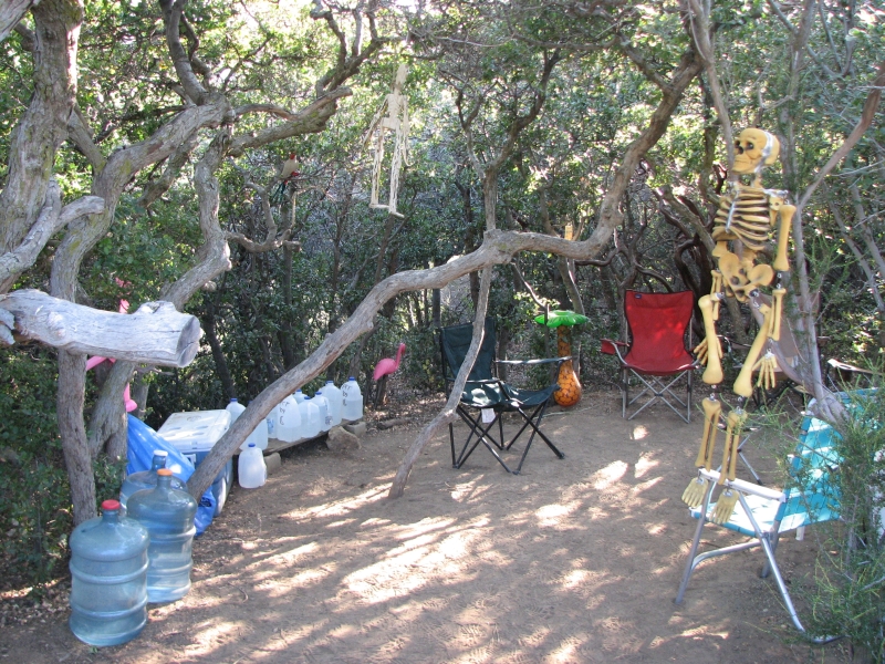
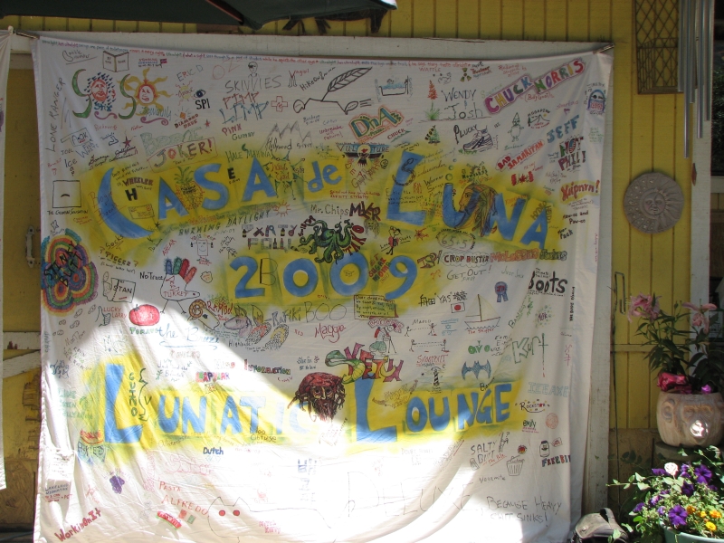
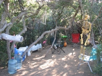
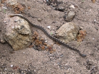
It was an unexpected day, one that didnt go quite as planned. We slept well on our ridgetop road, but didnt want to move when the sun appeared. Jim had a difficult start: diarrhea, a cut finger, and then he tossed his cereal into the bushes while swatting at a bug. We finally left camp around 6:45 and wound our way through the green hills. This is a boring section, all in all, but easy. When we reached Francisquito Road, a car was disgorging several hikers. It turned out to belong to Joe Anderson of Casa de Luna, a laid back hostel with a reputation for being party central. Jim and I hadnt planned to stop there, since its so close to the Sauffleys, but we decided the timing was obviously right for it, so why not visit for a bit. We got in Joes car and drove the two miles to the house. There were a bunch of hikers there, relaxing in the shade. Most arrived last night, but a few had been there for days. The Andersons seem to be really nice people. Terri made us pancakes as soon as we got there. The coolers had plenty of beer and soda. We watched a movie (Bucket List), took a shower and sat in the shade talking with the other hikers until almost 4:00. Jim and I got a ride back to the trail and headed out to hike in the shadows of the late afternoon. There were clouds which helped cool things off, though it never really felt like rain. We ran into a fairly small diamondback rattler stretched out next to the trail and saw several red velvet ants as well. I love those, since Ive never seen them anywhere but the PCT.


We reached Elizabeth Canyon Road around 7:15. We hadnt planned to go that far, but as usual with sidehill winding along canyon walls, there was no place to camp sooner. There is a water cache near the road, and a large campsite under the trees, so it was a nice destination.
Nobody else left the Andersons this afternoon. Guess they didnt want to miss chocolate sauce Twister night. We heard about the oil wrestling party a few days ago. A bit wild! I was tempted to stay, but between the beer and the pot, folks were getting pretty stoned and I doubted wed get much sleep if the party really got big. More hikers were expected and there were at least 20 when we left. Some we had met at Sauffleys or on the trail, but a few were new to us. Tamsin almost lost all of her photos when she tried to download them to email home. Splash had a broken foot (stress fracture) and is just waiting for it to heal enough to get back on the trail. She stayed at Sauffleys a while, then moved on to the Andersons to wait it out. We were a bit surprised at how openly people were smoking pot. The front yard isnt that private. I think a few of the guys were more interested in partying than hiking, but most were just enjoying the Andersons hospitality.
May 28: 21.3 miles to Cottonwood Creek Bridge
We slept late again, enjoying our warm sleeping bags on a cool morning. Just as we were leaving at 7:00, Geraldo arrived with more gallon jugs of water for the cache. He stops by twice a day to make sure theres enough water, though he lives 15 miles away. We helped carry some water from his car to the cache, then headed to the nearby town of Lake Hughes.
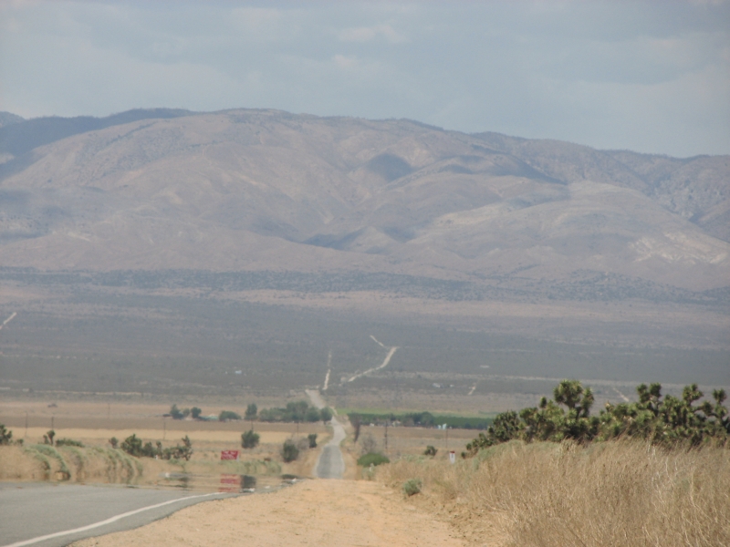
We decided to try an alternate route across the Mojave Desert that is described in the guidebook. It is quite a bit shorter overall, though the desert stretch is probably the same distance. I remember the PCT route through the hills and have no great desire to repeat the endless winding though desert brush in this section. When they finish relocating the trail through Tejon Ranch in five years or so, we may come back to see what its like, but for now, an alternate route sounded more appealing. We ate a second breakfast at the Rock Inn in Lake Hughes, then headed north on Lakeview Drive. The road was posted with No Trespassing signs, which was worrisome. We stayed on the dirt road, passing several houses and ranches, and hoped no one would call the sheriff. I watched a hawk on a telephone pole take off after a small bird.
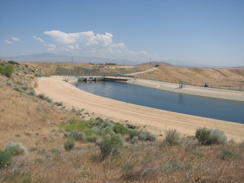
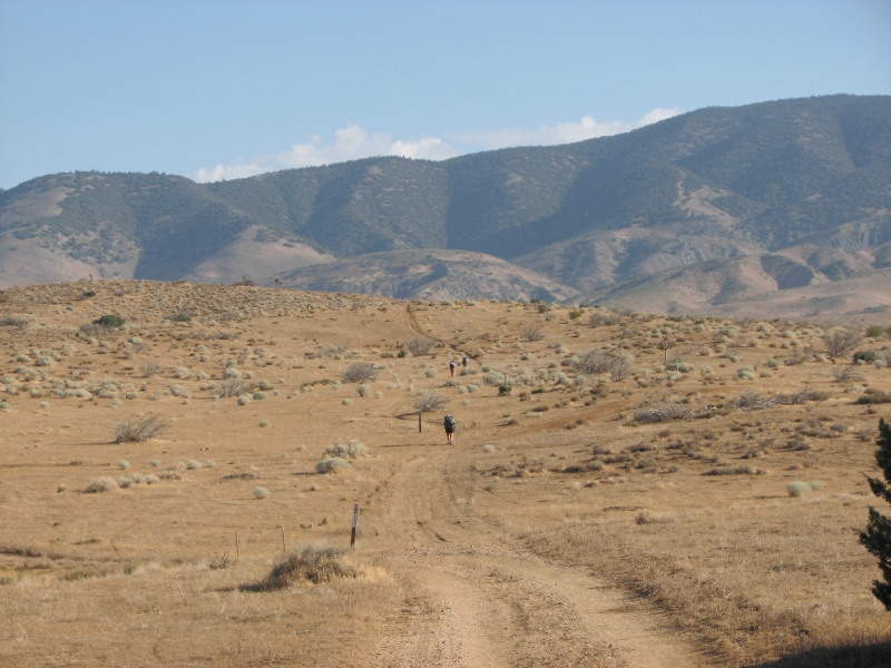
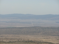
When we approached Fairmont Reservoir, we began running into locked gates and a tall fence topped with barbed wire that cut off all access to the water. We made our way around the lake (under the fences) to the LA Aqueduct where we were able to pick up a paved road that is open to pedestrians. They allow fishing in the aqueduct, but no swimming. The blue water looked very cool and inviting, but we stayed away from it. When we reached 170th Street West, the former route of the PCT, we stopped in the welcome shade of a juniper tree next to a horse ranch for lunch. There was a line of trees planted along the road, but most were dead or dieing. It was a hot but windy day. A few clouds were building to the north, but not enough to really provide shade as we crossed the desert. Last time we crossed the Mojave at night, which was fun. Today our timing was different, plus its not as hot only mid-eighties instead of 100 plus, so we hoped to do the crossing during the day without risking heat stroke. This finger of the Mojave, part of Antelope Valley, is very sparsely vegetated. One section was just sage and rabbitbush, another area was a large grove of Joshua trees, and another just had some creosote bushes. We followed a paved road across the valley, past farms and ranches. Just past a peach orchard we spotted a brush fire. A couple of fire engines raced up to it, as well as the farmer with a truckload of water.

A car stopped next to Jim as we were heading toward the mountains, and it turned out to be somebody we knew, Billy Goat, who has hiked the PCT numerous times and is a PCT celebrity. He offered to take our packs to the Cottonwood Creek Bridge, about 5 miles ahead. It made the long flat road walk a little easier. He also gave us water, which was very welcome. The wind made it feel comfortable, but the sun was dehydrating us badly. We watched a herd of sheep being moved by dogs and men on foot. At the end of the road we ended up turning off on the wrong side track. We picked up a motorbike track which led back to the PCT, but for a while we were wallowing in soft sand, which added to the frustration. By that time we were both exhausted and sore of foot. It was a real relief to see the bridge and numerous hikers napping in the shade. Most left around 7:00 pm, hoping to make a few more miles before (or after) dark. There was a water faucet at the bridge, so we were done for the day. We talked to Billy Goat for a while as we ate dinner. Hes heading north to Belden to meet some friends, so we probably wont see him again this year.
May 29: 23.2 miles to Tehachapi Willow Road PCT Mile 558.0
We didnt sleep much since the wind kept gusting until quite late, then a mouse or something began exploring the area around us. His rustling kept me alert since our food was in our packs on the ground. This morning we were on the trail by 6:30. Guido and Hydro Heidi had arrived in the middle of the night, but they camped on the road above the bridge. Evidently Boots helped them slackpack across the desert. There were only two others camped with us under the bridge.
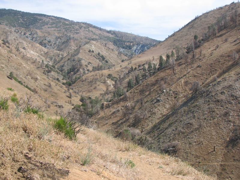
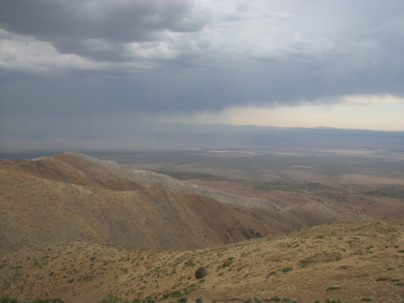
It was a very hot trek across the last few miles of desert to the Tehachapi Mountains. We stopped for a long break at our first water source at Tylerhorse Canyon and visited with Guido, Heidi and Rockstar. HikeOn zipped past us without stopping for water. Then we began a slow slog up and down various canyons on soft sand. The whole area was burnt last year, so there were no trees or large bushes, just some wildflowers. I hate hiking on narrow trail on loose sand. There were a few scary moments when the trail gave way under our feet. Around 10:30 clouds began to build. By noon it was raining in the valley and about 1:30 a thunderstorm hit us as we climbed up the ridge. The worst part was the wind, which knocked us about and pushed me off the trail several times. The rain lasted about an hour, with a respite in the middle that allowed us to get a late lunch. The temperature cooled off considerably, which was much appreciated by all. With so much burned forest, the clouds and cooler temperatures were a real blessing, especially after yesterdays heat.
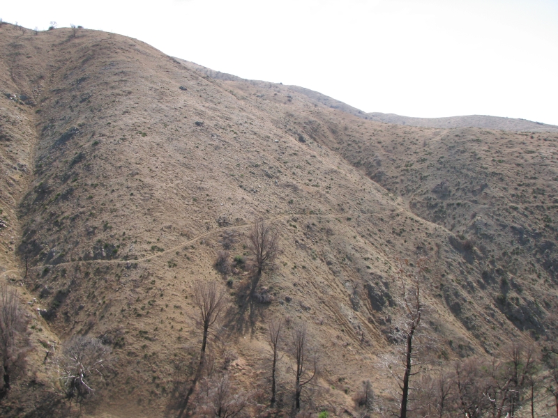
Even so, today was a long day. The trail wound and wound up and over the ridge then down the other side. Jim and I are both in a lot of pain. We didnt intend to go 23 miles today, but lack of water and good campsites forced us to keep going until we reached the creek at the bottom of the ridge. There was a good water source about two miles from Oak Creek, a trough with a shower attachment, but there werent any flat spots there. We were both frustrated at the interminable climbs and descents. Jim felt really dehydrated but wouldnt stop for lunch until I got mad and insisted we stop. If nothing else, I was tired from climbing the ridge with a gallon of water on my back and needed a break to rest my body. The storm over the desert was fun to watch. I was happy that the lightning stayed off in the distance. It was a bit scary climbing up the ridge in the middle of the storm. Since all the trees were gone, we were the highest point. HikeOn got smart and decided to set up his tent and take a nap while waiting for the storm to pass. On the descent we walked through some nice pine and oak forest that I didnt remember. Part of it was burned, but there were some live trees as well.
We camped at the picnic area near the trailhead next to Oak Creek with another hiker called Rockstar. She hiked part of the trail last year but went home from Oregon because of a staph infection. There are a lot of people out this year who hiked 1800 miles or so last year and then went home, for one reason or another. A few other hikers passed us this afternoon, heading into town, but we decided to save our money and go in tomorrow.
May 30 Day off in Mojave

HikeOn and his partner Free Spirit picked us up at the trailhead and drove us the ten miles to the town of Mojave. She started the trail with him, but left when she had some problems with the heat. She went home to Florida, picked up her car and came back out to start the trail with him here. Theyre hoping that the cooler weather in the Sierras will be easier on her than the hot southern California Desert. Theyre both really nice people. HikeOn is a very strong fit hiker Im not sure Id want to try to keep up with him, but she hiked with him on the AT last year, so knows what shes in for. We ate breakfast together at Dennys, then checked into a Motel 6 at the edge of town. Its well located, across the street from the grocery and library but a mile or so from the post office. It has its own laundromat, which is really a bonus. We washed off our tans and started laundry before 10:00. We plan to take today off and maybe tomorrow. My blisters are back and Jim has some wicked chaffing, as well as a sore knee. Yesterday he was feeling very discouraged about the probability of us finishing this hike this year. Weve done some big miles this week, and hes really hurting as a result. We agreed to give it a few days, see how we feel after were rested and rehydrated and then decide whether or not well continue.
We ended up going to lunch with HikeOn, Free Spirit, Bogie and Bacall after a trip to the Post Office, then we bought groceries for the next eight days and finally collapsed. Dinner was a salad and sandwich from Subway across the street. Were tired.
Home | Links| Trail Journals |
The Thruhiking Papers | Bun-bun |
Created: October 2009
Revised: 30 Sept 2016Copyright © 2009-2017 Spirit Eagle