|
 |
 |
 |
 |
|
|
|
|
|
|
May 20: Little Jimmy Campground 14.5 miles PCT mile 384.0
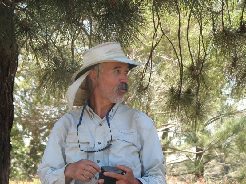
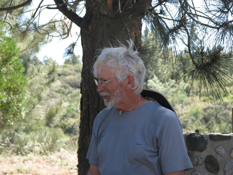
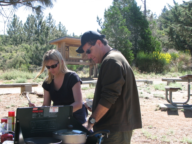
We really enjoyed our day in Wrightwood. When we headed out to dinner, we ran into a group at the Yodeler, where we ate last time, so Jim and I ordered a huge meatball pizza and sat on the deck visiting for a few hours, then went back to the motel to finish our books and go to bed. I really enjoyed spending time with the other hikers.
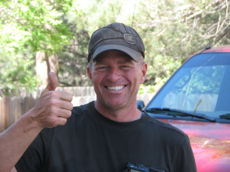
This morning we ended up eating breakfast with Fixit and Scott, then got fuel and toilet paper and ran into Pilgrim and Krewzer at the hardware store. They had spent the night with a trail angel, Rebecca, who was driving them back to the trail after a quick stop to get fuel. Rebecca offered to pick us up when she was done dropping them off and take us to the trail as well. We agreed happily. We finished packing, checked out of the motel and had just set our packs down when she drove up. Rebecca was accompanied by two year old Kelly and four year old Ryan, who made the drive quite lively.
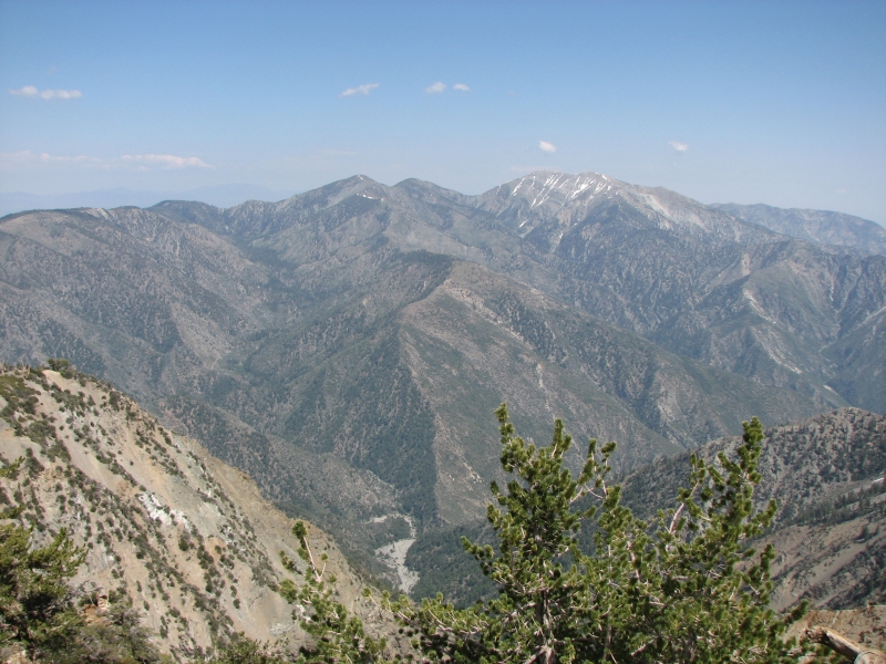
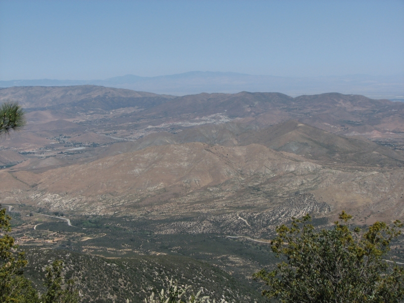
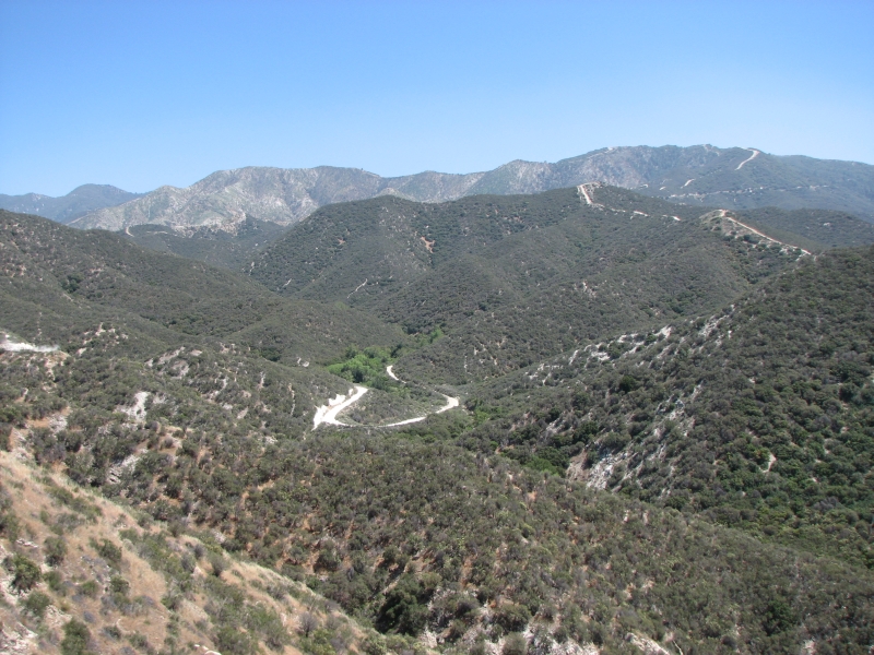
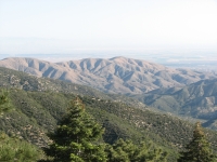
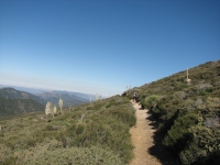
It was a beautiful day, windy and sunny. The trail winds through pretty pine forest for a while with views to the north, then drops down to the trailhead for Mt. Baden Powell. Its a long climb back up to the ridge, around 3000. The trail is good though, well constructed and not too steep. We stopped for lunch at a wooden bench with a view back to the south.
Im feeling really happy with the trail and the hike so far. Nine years after our first PCT hike, my attitude is so different and my enjoyment of the experience is much greater than last time. Part of it is sheer gratitude that we are able to hike at all. Weve walked more than 100 miles so far whod a thunk it! Jim has had some problems, but not insurmountable ones, I think. Hes having more fun this time too, despite his sore foot. Im really thankful that we can hike, especially after all the problems weve had the past few years with Jims knees, the Mortons neuroma, and even the broken ribs. So far all is going remarkably smoothly.
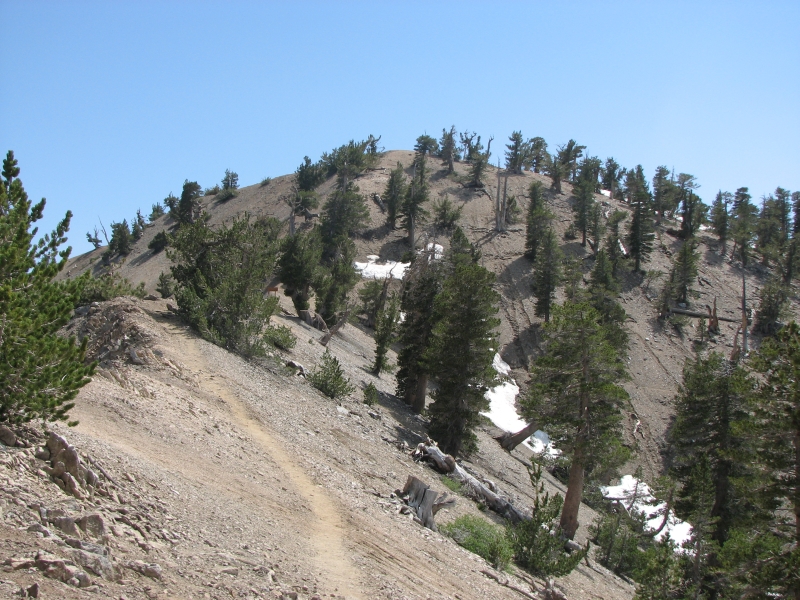
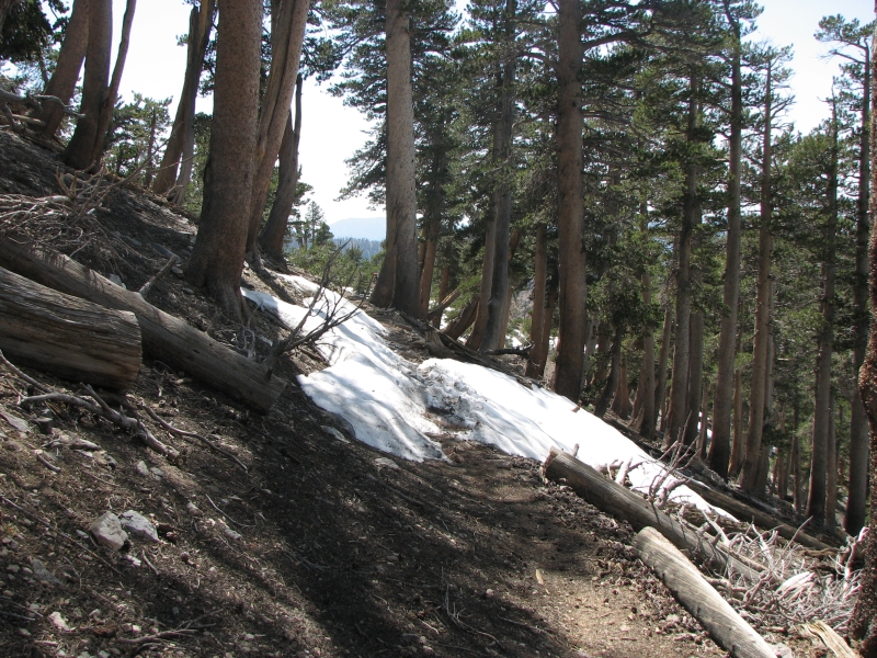
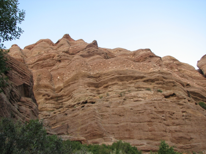
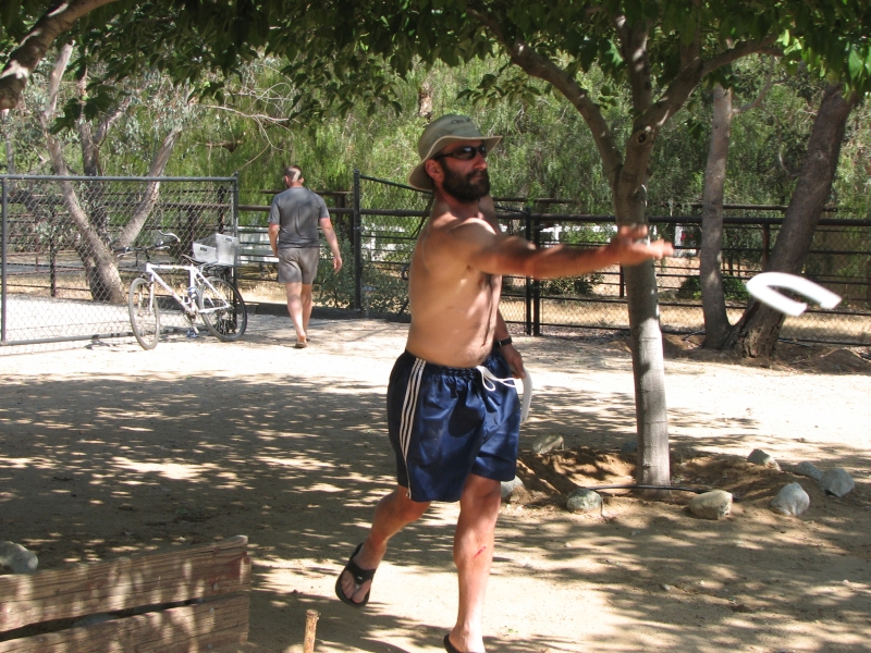
The climb up and along Baden Powell was harder than we remembered. Around 8500 we began running into snow on the trail. Some was easily crossed, some took more effort. We bushwhacked part of the way up where the trail was covered in snow. It was cool and windy, but not as bad as last time. Jim twisted his knee on one of the steep climbs past a snow bank. He thinks he tore some scar tissue loose, but hes not sure. He also thinks that would be a good thing. The rest of the afternoon we climbed up and down along the ridge past a couple of peaks through a recent burn. Eventually we descended almost down to the highway to developed Little Jimmy Campground. Its not burnt and has a beautiful gushing spring a short distance south. There are several people here, including some who arent thruhiking, and probably more to come. We had hoped to go farther today, but it was 6:00 by the time we arrived and we were both sore and tired, so we agreed to stop, especially since we were carrying a heavy load of water.
May 21 23 miles to a Ridgetop at 412.0
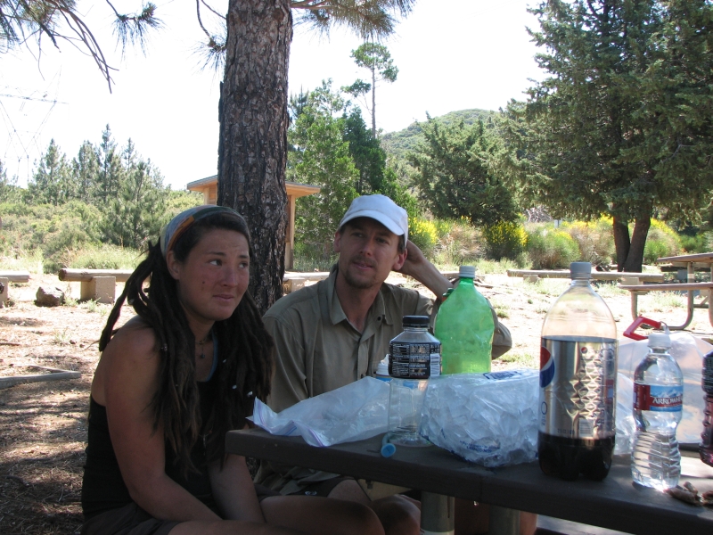
I woke up feeling really happy, grateful to be out here, enjoying the beauty. Pilgrim, Krewzer, Bamboo Bob and Da Cob had gone by the time we got up, though the rest of people camped at Little Jimmy were still sleeping. We dropped down to the highway on easy tread, then began a series of highway walks. Jim was still hurting, so rather than climb steeply up and down over Mt. Williams, we followed the road through the tunnels. A group of cars appeared when we were halfway through, but otherwise we had the road to ourselves before 8:00. We picked up the PCT soon after and followed it up and over a hill, then ran into a trail closure. The PCT has been closed to protect an endangered species, the Yellow Legged Frog, so the official route follows the highway for a while. The views were nice and traffic was light and the walking was easy, so we didnt mind much. We cut off on a side road to Burkhart Campground where we enjoyed a very early lunch and picked up some water. Its a pretty place, with big cedars, pines and spruce trees.
After that we headed back to the highway to meet the PCT a few miles later. The official detour headed back to the PCT on a side trail, but was several miles longer. I remember that section along Cooper Creek as being a really nice one, so Im sorry to have missed it, but it didnt make sense to do two sides of a triangle when following the road for two more miles would get us to the same place so much more quickly. We rejoined the PCT at Cloudburst Summit, then followed old dirt roads slightly below the highway for a few miles. It was a noisy hike, since it seems that every motorcycle in southern California has come out today to drive the newly reopened Angeles Crest Highway. It was closed for a few years because of a big landslide; the grand reopening happened while we were in town. I was happy to cross the road for the last time and leave the traffic din behind. Even nicer was a cache full of sodas and beer as well as big bottles of unnecessary water. (There was a lot of water along todays hike.) We enjoyed a cool Pepsi at the cache. Several hikers left their packs there and hitched to a biker bar a mile or two up the highway. They all passed us later in the day and made me envious when they talked about the chocolate cake and ice cream they had enjoyed at the bar.
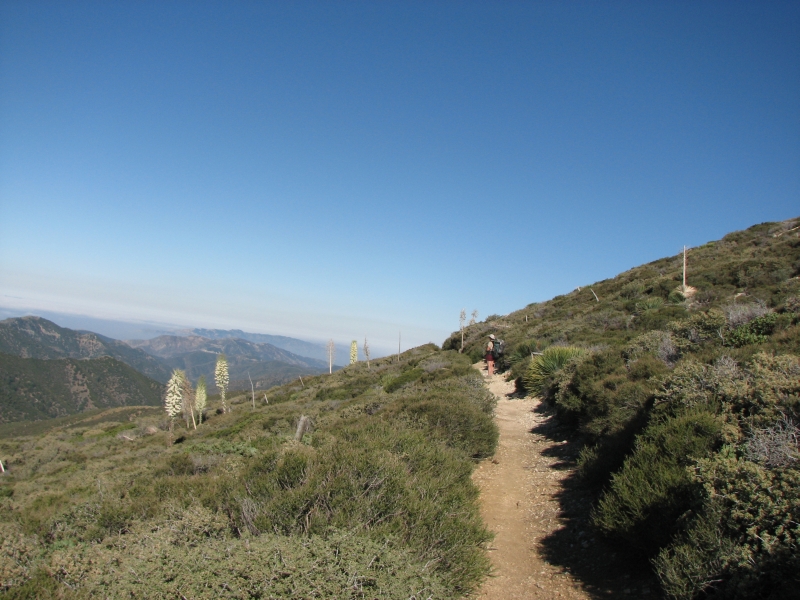
The trail descended gently for a long time and the vegetation changed completely to desert shrubs in bloom: yuccas, prickly pear, lupine, paintbrush etc. We had planned to stop at Sulphur Springs Campground, but it was still early when we arrived, so Jim and I soaked our feet in the creek next to the horse campground for a few minutes (nasty water, but cool), then continued for several miles to a small spring where we needed to dip out water ½ cup at a time. From there we continued another mile and a half to a ridge where we were able to find a windy flat spot where we were finally able to collapse. This was a big day for us. My feet are killing me. Jims are worse. It was our first day over 20 miles since we hiked the CDT in 2006. The road walking was quick and easy, but oh do we hurt.
May 22: 18.7 miles to Messenger Flats Campground Mile 430.7
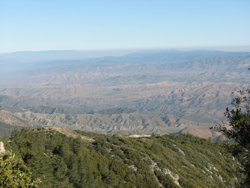
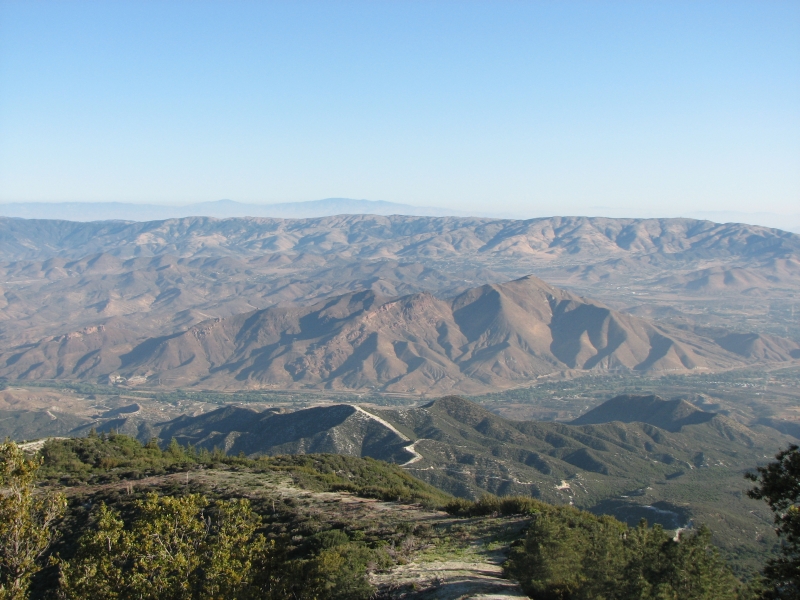
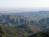
We didnt sleep much, thanks to sore feet and the wind rattling our tent for most of the night. Im worrying too much about future events (tonight, Agua Dulce, Mojave, etc.) and its getting in the way of enjoying the present, which is really quite nice. Still, I enjoyed the first couple of hours as we hiked in the cool shade of pines and oaks. We stopped at a ranger station around 10:00 to fill up our water from a hose. We had heard they had bottles of good water, but if so, it was all gone by the time we arrived. A rather strange hiker called Boots the Ultimate Hiker told us about seeing mountain lions on the trail and then camping nearby. He talked a lot and I really wasnt in the mood to listen, so we soon picked up our heavy loads and climbed through the chaparral to a shady spot where we could rest and eat lunch. I was feeling grumpy, so a long break was definitely a good idea. Our next water is 18 miles away, which means we either dry camp or push to do 24 miles today to the next water at another ranger station. I hate feeling pushed to do big miles. The trail isnt bad. It winds through the scrub with views of green hills, dry brown hills, and desert beyond. Weve seen a few other hikers today, but only in passing.
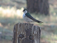
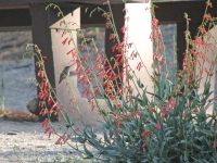
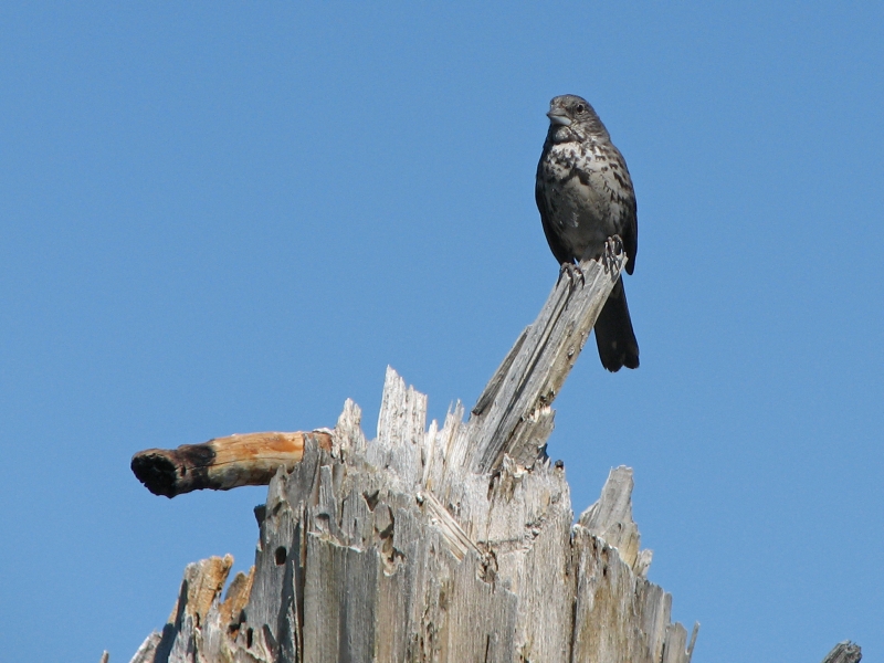
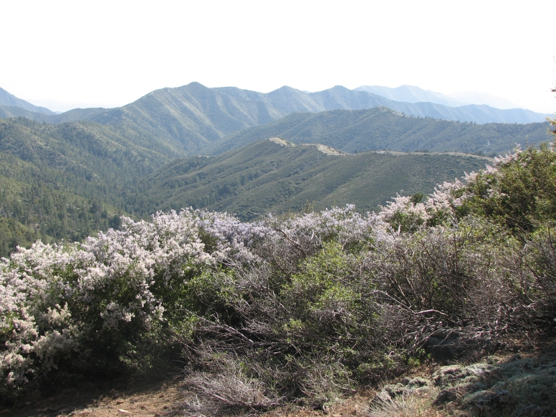
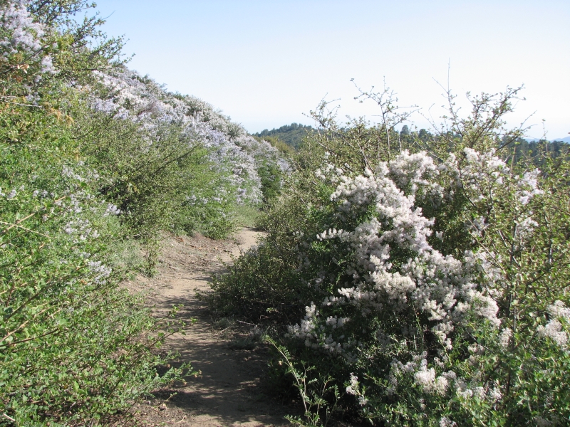
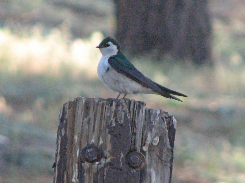
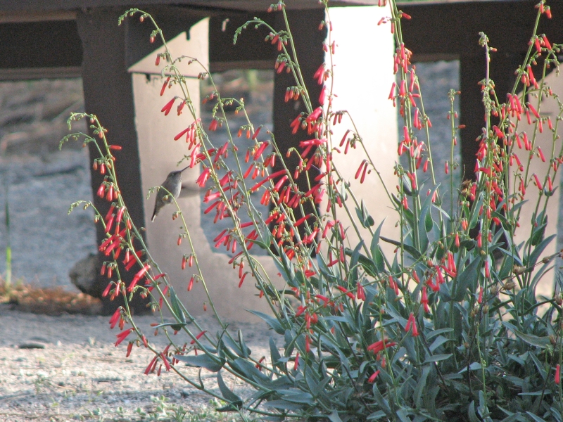
The afternoon was mostly pleasant, walking in the shade of oaks and pines. We did a lot of climbing up and around Mt. Gleason. There were some nice views of distant ridges wreathed in haze. One section was a flower-lined corridor for about a third of a mile. The shrubs were buckthorn: six to eight feet tall, covered in blue or white flowers, very sweetly scented. It was lovely. We ended up at an empty forest service campground, Messenger Flats. It has no water, but it does have outhouses and picnic tables. We carried water from the ranger station to get us through the night. We were drinking a lot of water, so when we passed a large scummy pool in Poison Creek we stopped to filter a couple more quarts. It tasted okay and there were ferns along the dry streambed, so hopefully it was potable, despite the name. We were both tired and sore, so the peace and quiet at the campground were very welcome. A couple of men on motorcycles stopped to check out the campground, but left soon afterwards. It was surprising to have the place to ourselves on a Friday night, since its a cool and breezy evening and the campground is a nice one, with lots of pines for shade. We got photos of a couple of birds: a swallow and a hummingbird, noshing on penstemon nectar.
May 23: 20.2 miles to Freeway near Agua Dulce at PCT mile 450.9
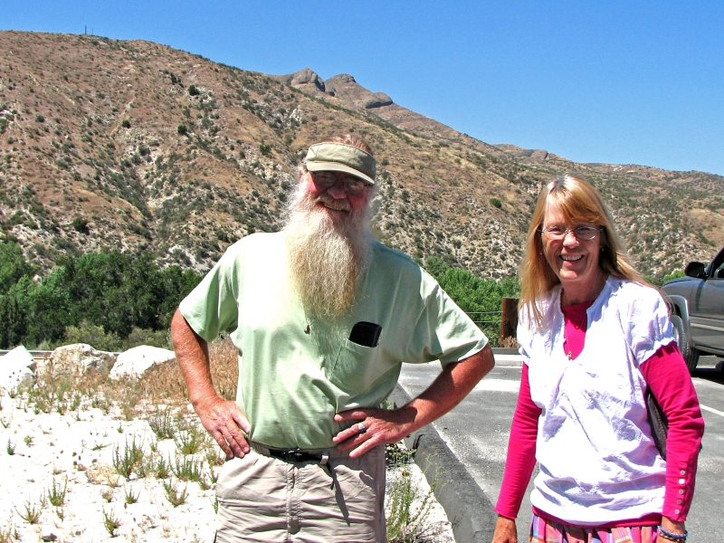
We slept well and long at our quiet campground, not leaving camp until 7:00. The ridges rise like green islands above the smog, oases from the strife of city life below. It was pretty hiking through the San Gabriel Mountains. We wound through the hills to North Fork Ranger Station where we stopped to pick up water. We ended up with a pleasant surprise: just as we were about to leave, a car drove up. A couple got out and asked, Would you like some breakfast? We said yes, of course. They were two lawyers from LA who had met some PCT hikers the previous weekend. They treated those hikers to dinner and sodas and got the idea of coming back deliberately to do more trail magic. Several hikers arrived in time to enjoy the feast: Pilgrim and Krewzer, Lake, Froggy and Snorkel. The trail angels, dubbed Law and Order, fixed pancakes, bacon, eggs, muffins and had a cooler full of various drinks. We stayed for 1 ½ hours while they cooked and we enjoyed the feast.

Stuffed to the gills, we began the long shadeless descent to Soledad Canyon. Theres a KOA campground there where hikers can stay and shower, but we didnt want to deal with the holiday crowds (we could hear the dueling boomboxes a half mile away) so we just bought a soda and ice cream and left. The campground wanted $10 for us to take a shower, $5 just to sit at the picnic tables for a while. Hikers are allowed to camp there, but were told they couldnt set up their tents or swim in the pool. It wasnt worth it to us so we moved on.
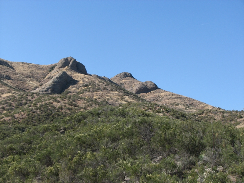
We washed our feet at a small stream and rested in the shade before beginning the ascent out of Soledad Canyon. We climbed and climbed past the weird conglomerate rock formations above the canyon. It was nice walking, shaded by the late afternoon shadows. We planned to camp on a ridge between the valleys, but we were swarmed by ants while we ate dinner, so we moved on again. There were also bees nesting on the trail earlier that we had to detour to avoid. A bad bug day. We did see a deer this morning near the campground our first so far.
After the ant debacle, we descended the ridge to a flat spot in a side wash close to the freeway. It will be a noisy night, but Im happy to be lying down with my shoes off. My feet are badly damaged, the toes raw and very painful, rubbed by all the sand and grit that gets into my running shoes.
May 24: 3 miles to Agua Dulce
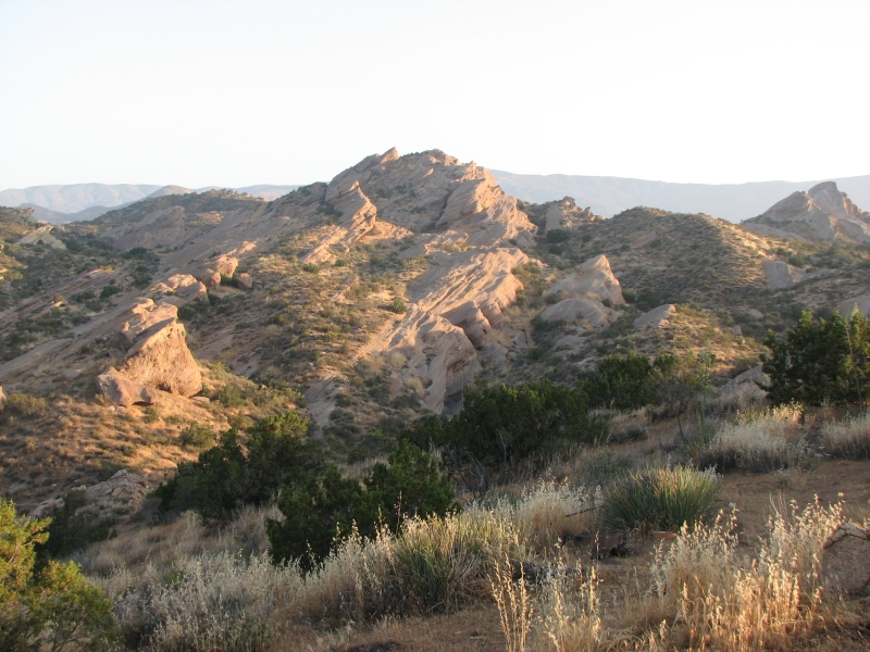
We were up before the sun and soon enjoying a big breakfast at the café in the town of Agua Dulce. It was an interesting walk through Vasquez Rocks State Park. Theyve moved the trail since we hiked it last time, so we were able to see more of the park now with its huge layers of conglomerate rock. It reminded me a little of Utah, but the rocks are quite different.
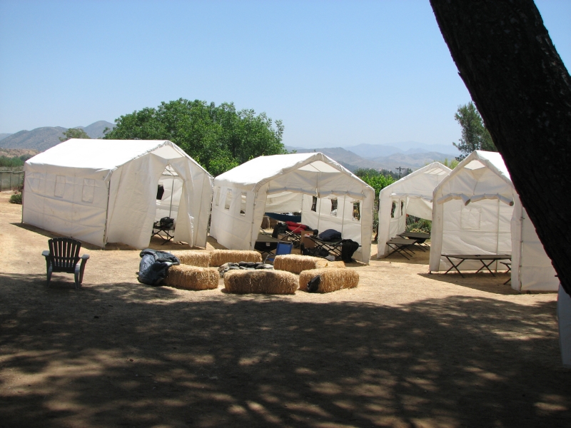
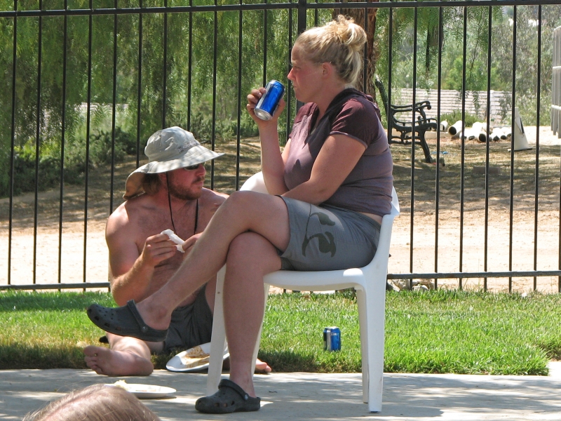
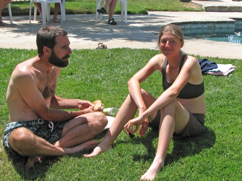
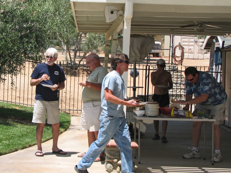
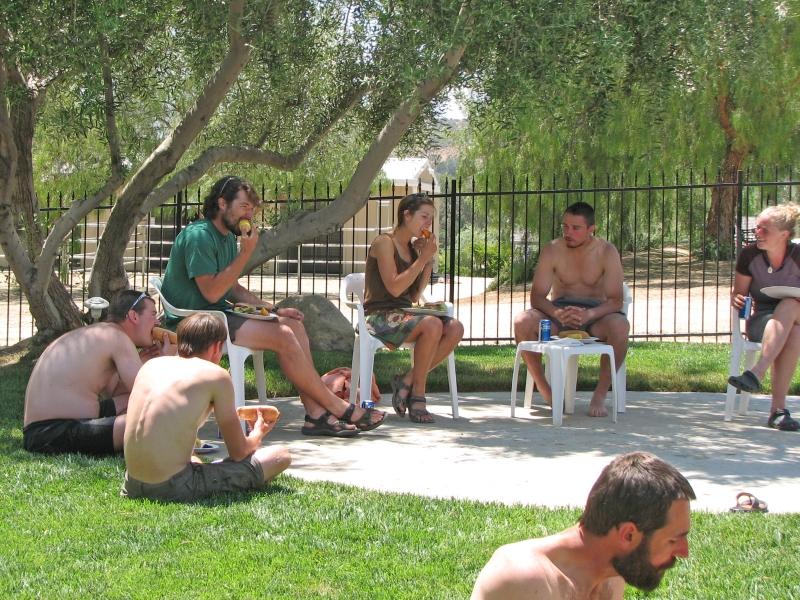
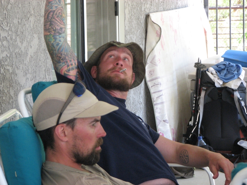
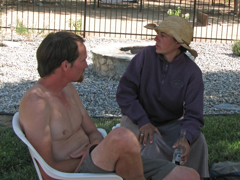
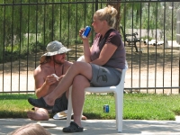
After breakfast, we walked the mile from the café to the home of the Saufleys, local trail angels who take in hikers. Jeff and Donna are terrific people, who really go out of their way to help the PCT hikers. Hiker Haven has changed since the last time we were here. It is more organized, with big tents for shade and cots to sleep on, and Donna had helpers to assist with laundry and rides to the grocery or REI. We were lucky enough to get one of the couples rooms, inside the trailer that has the shower, internet and television. (The downside to that is people watch TV quite late, so sleep can be hard to accomplish.) After a lovely shower and changing into borrowed clean clothes, we headed to a neighbors for a pool party. They barbequed burgers and hot dogs and served soda and beer while the large group of hikers talked and sat in the pool most of the afternoon.
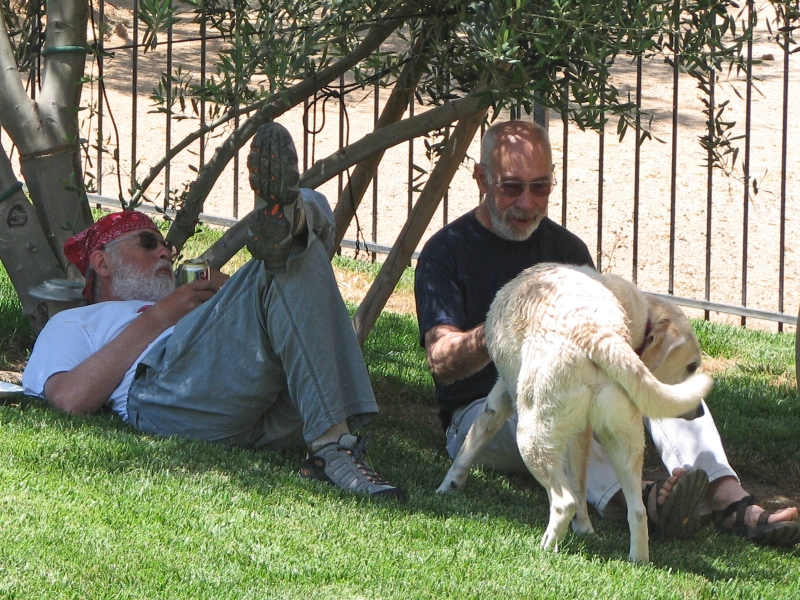
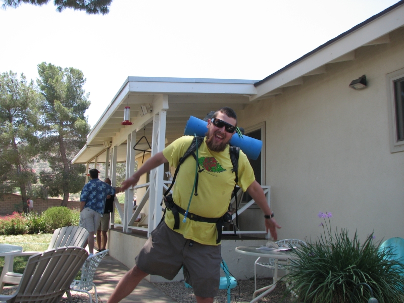
There are about 40 people staying at the Saufleys. Yesterday there were 50, and they had to turn away 5 hikers. Evidently last year they had 70 people one day, and Donna decided it was time to set limits. I really dont blame them. Some hikers stay for several days, and with the clumping that is a consequence of so many starting at the same time, there are a lot of us in the herd. Im glad Jim and I didnt try to push to get to town last night or wed have been turned away too. Most of those who were turned away just camped at the park and came in this morning. I enjoyed seeing so many people we had met previously, as well as a lot of new hikers. Because my feet are sore and I have the beginning of shin splints, were taking tomorrow off as well. It was nice to just relax today and not have to worry about shopping, etc. We were able to just sit outside, talking with people, read the paper, and watch hummingbirds. For dinner we called one of the local Italian restaurants and they delivered huge servings of lasagna and salad. It was a nice day.
Home | Links| Trail Journals |
The Thruhiking Papers | Bun-bun |
Created: October 2009
Revised: 30 Sept 2016Copyright © 2009-2017 Spirit Eagle