|
 |
 |
 |
 |
|
|
|
|
|
|
Tuesday, October 10 17 miles to Ontario Creek
When we left Helena at 8:30 a.m., it was 27 degrees in town. Up at the Pass, 3000 higher, it was COLD! The road to the vista was solid ice. There was some wind, which didnt help, and we were out in the open for the first ½ mile to the Vista, so we got out our balaclavas and gloves and walked fast. We got a ride to the trail with Sam, who works at Basecamp, an outdoor store in town. Jim called yesterday to see if they knew anyone who would be willing to drive us the 20 miles to the trail and Sam volunteered. He refused to take any money, even for gas, though we offered. Trail magic is wonderful.
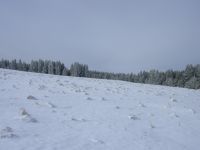
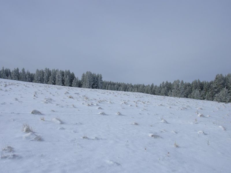
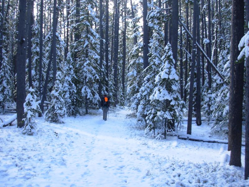
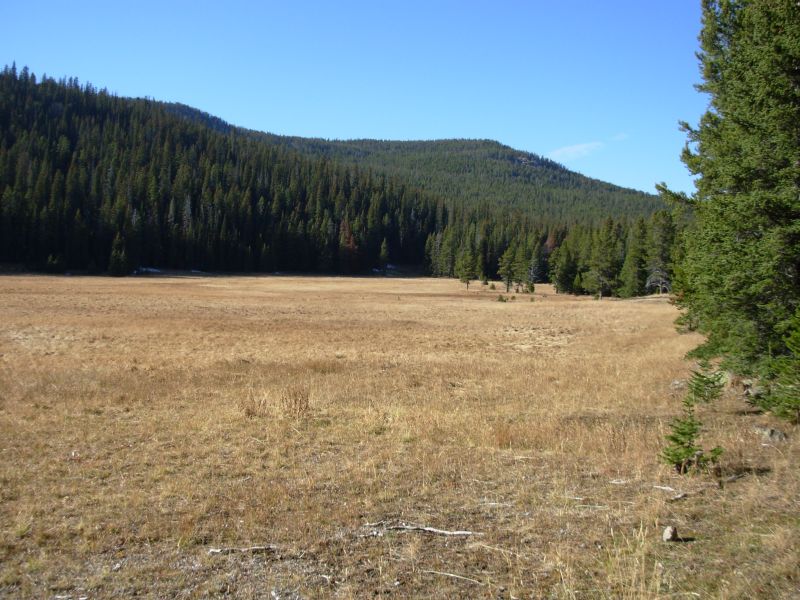
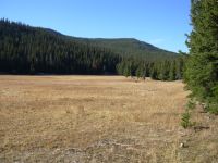
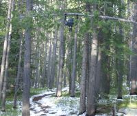
There was 1-4 of snow on the trail at the 6000 level where we were hiking today. Tomorrow we will climb to 8600, if we can find the trail. It was hard to follow the trail in the open meadows since the whole area was covered with snow. At one point we were following a snow-covered jeep trail and the CDT turned off it as new foot trail. We didnt see the turn, although I was looking for it. Rather than go back and flounder through the snow, we continued on the jeep trail, then turned on to another old logging road, which met another jeep road that became the CDT. Jeep roads were easy to follow, while foot trail vanished in the drifts. It was beautiful, with blue skies and sunshine, diamantine glitters in the snow and the forest looking like a Christmas card. The trees kept dropping snow on us in light drifts or heavy clumps. We followed human tracks for the first mile, then there were only fox, deer, elk, rabbit, squirrel, and coyote tracks. Toward the end of the day we saw a couple of trucks but they were the only people all day.
The afternoon hike was easy, gently climbing on graded dirt roads that were clear of snow. We had one short segment of foot trail, but the junction was well marked, and the trail was in the trees, so we had no problem staying on track. So far most of the junctions in this section have been marked. How unusual! Along FR 495 we passed two nice recently built cabins. That is rare on the CDT. In Pennsylvania, we hike regularly past private cabins. Out here there arent many in the National Forests.
We camped next to a creek after 17 miles. The snow was shallow, so we scraped out a spot for the tent. It warmed up for a while and a lot of the snow melted, but mid-afternoon the clouds moved in and it got cooler again. It is supposed to snow again tonight.
Jim: I've gotta say "Thank you" to Sam at The Base Camp in Helena for his kindness. Trail Magic is always welcome. But I wondered just how crazy we are this morning. The 27 degrees wasn't all that bad, but the wind was. And the ice for the first couple hundred yards was really not an auspicious beginning to the day. It did get better, although it stayed really cold all day. Scraping snow so we could set the tent down isn't my favorite way to camp, even though I've done it more times that I care to count.
Wednesday, October 11 16 miles to overlook

Today turned out to be a beautiful day after all. So much for a 40% chance of precipitation! We actually had one or two minutes of snow right after we went to bed, but that was it. When we woke there were gray skies to the north and blue skies to the south. We headed south into increasing sunshine. What luck!
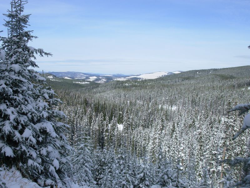
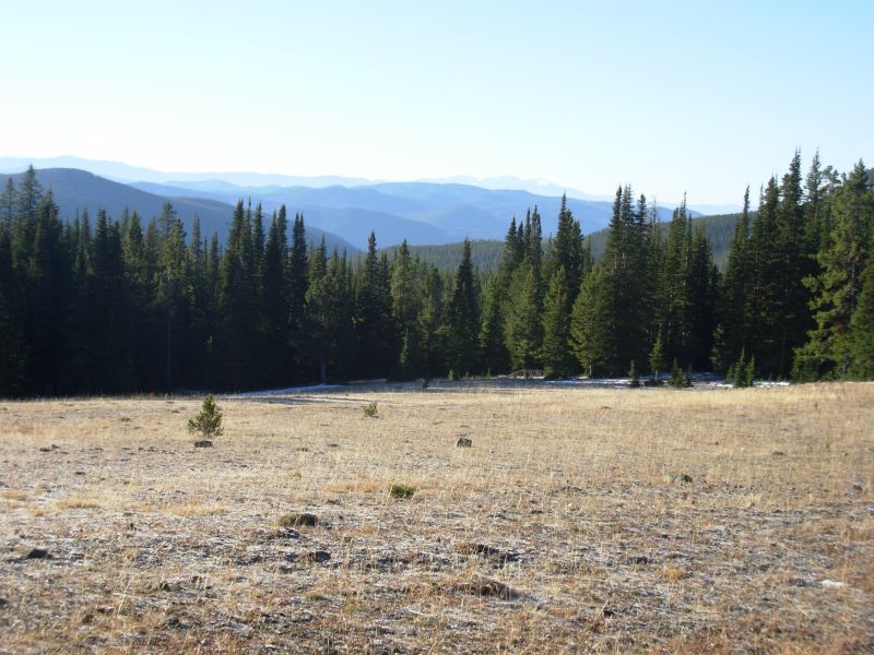
We climbed gently on jeep trails all morning, then picked up the new trail up Thunderbolt Mountain. It was a good climb. The first 30 miles south of MacDonald Pass are new to us, since we took a lower route through Blackfoot Meadows last time because of the snow. The mountains here are mostly round forested hills. We had some views, but nothing very dramatic except one peak to the southwest maybe Electric Peak? There were lots of tracks in the snow today; a pack of coyotes and possibly a couple of wolves were the most interesting. We crunch loudly on the snow, so animals are wary and hide. Yesterday we saw a big dark hawk with white spots under its wings, but that was the only interesting bird lately.
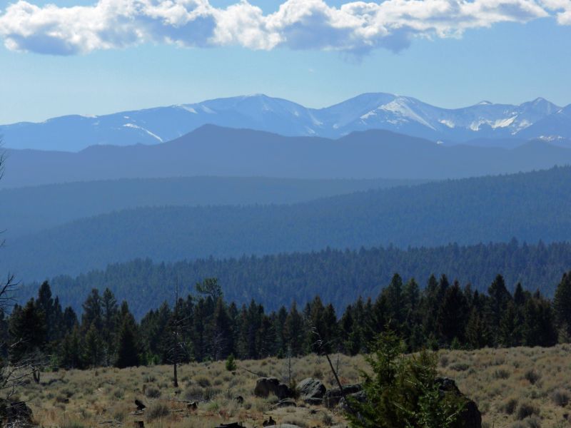
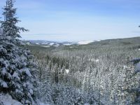
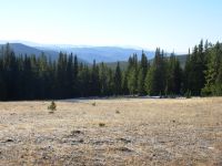
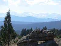
Lunch was in a meadow sitting in the sun such bliss. From there we climbed over Thunderbolt Mountain. The trail over Thunderbolt was built quite recently. Before that the route was a bushwhack. We decided against the side trip to the top because the guidebook says there is lots of talus, not a good idea in snow when you cant see whats underfoot. I didnt want to be climbing on icy rocks. We saw human prints at the junction, but they vanished lower down. I was sorry we missed the view from the top as there werent many other views from the mountain. I liked the Blackfoot Meadows Trail better. We had a few views during the day and we did detour later for a view southwest. Then we ended up camping next to a nice overlook with good views to the south. The snowy Highland Range was especially beautiful. Its cold and clear. The sun melted some of the snow on the trail.
Jim: This is the secton where we bailed from the bushwhack in '99. What a difference - little snow on the trail, relatively warm weather, sunshine and actual trail to follow.
Thursday, October 12 19 miles
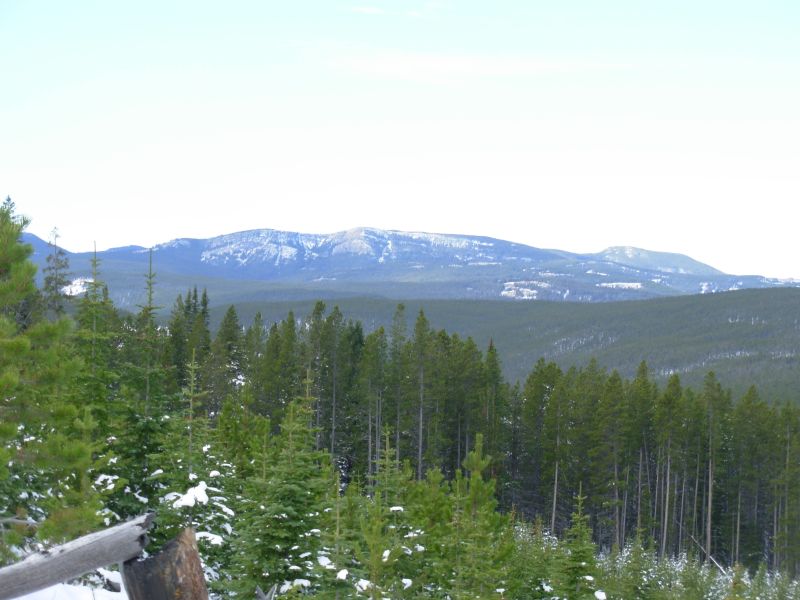
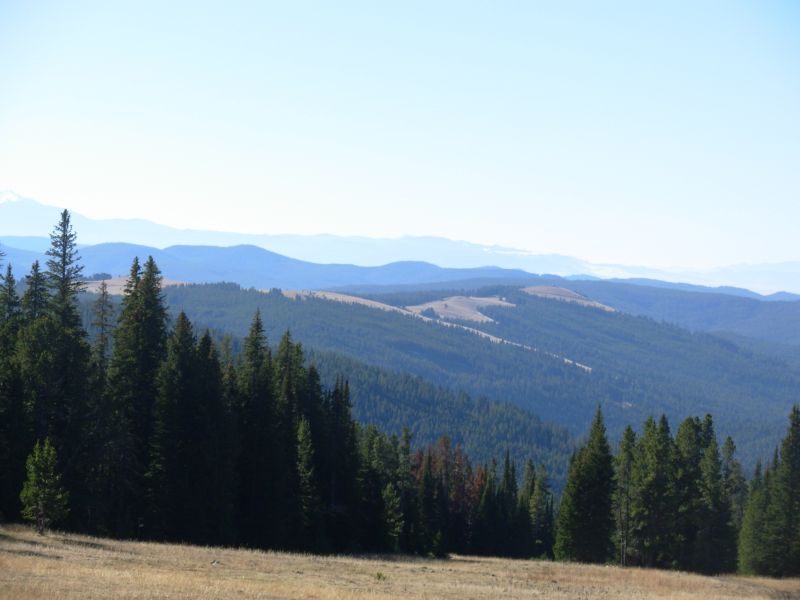
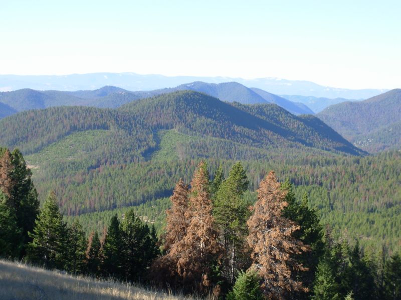
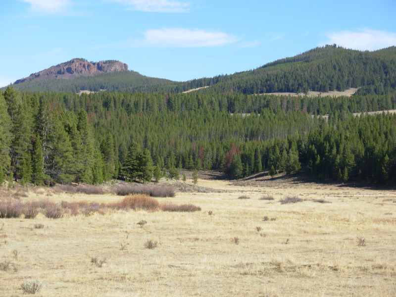
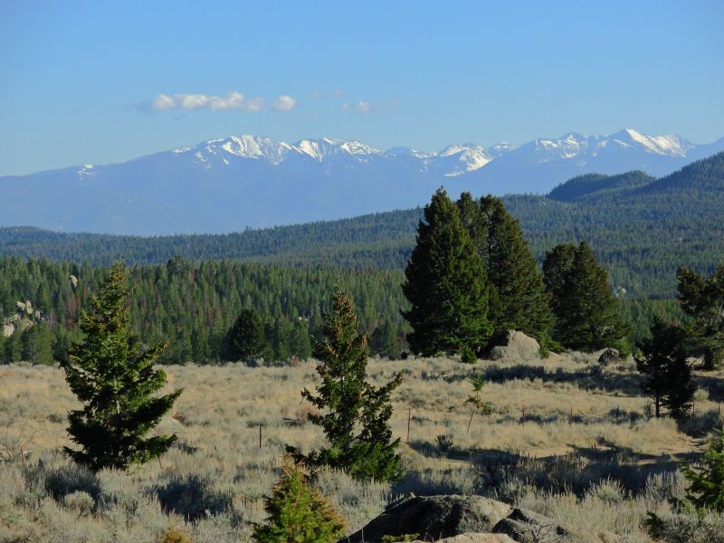
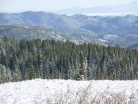
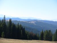
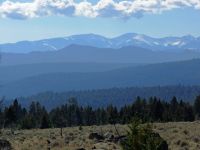
Another beautiful day, cool and sunny. Its in the low 30s in the shade, mid-40s in the sun. A lot of our hiking this morning was in the sun, walking from one grassy meadow to the next. The views are terrific as we look south to the Highland Range and west to the Anaconda Pintlers. We could see the smelter stack at Anaconda and the town of Deerlodge to the north, lots of blue ridges to the east, green irrigated fields, grassy meadows, snowy peaks and blue blue sky. It was beautiful! There was some smoke to the east, but it was north of our route, I think. By early afternoon it had warmed up to the point we could hike in our shirtsleeves, though it was still cold in the shade. After Champion Pass we began more "new to us" trail. Last time we took the Anaconda Cut-off; this time we decided to follow the long route around Butte. The CDT follows jeep roads through green hills, with lots of creeks and rivers, gentle climbs and easy walking. We saw two vehicles today; one was a government car and the other had a couple dressed in camo.
We reached our planned campsite at 5:00, which was a bit early to stop, but we climb 800 from there in the next two miles and campsites may be hard to find. We passed up one good campsite because it was in a dark cold hollow. Our present spot was sitting in the sun, so we took it, even though it is right next to the road. Its a quiet road. Most of the snow is gone except in sheltered shady spots, but the ice on the road is still frozen in the shade.

These last few days I kept remembering what it was like starting our thruhike here seven years ago the excitement and uncertainty, the surprise at seeing all the snow in June, getting lost our third day out. I love the feelings you get starting a new adventure. But I hate ending one. I know its time to stop hiking. Winter has arrived, gently so far, but its cold and getting colder. Jim has increased the painkillers to three times a day, which is a lot for him, and he says it isnt helping at all. Even so, today I looked over at the Anaconda Pintler Wilderness and wished that we were heading there this year, as we originally planned. I dont want to stop in Butte, but I know we must. We will accomplish our goal of a border to border hike, and that has to be enough.

Jim: We long ago decided to follow the designated trail back to Homestake Pass east of Butte to complete the hike. There have been reports about how confusing this route is - and I suppose it could be if one were not paying attention to Jim Wolf's guidebook. But we've had no problems with the route so far. We won't complete the circuit around Butte this year though, so maybe we're missing something.
Friday, October 13 20 ½ miles
Once again, we had a beautiful day. I love it when the forecast is wrong, in our favor. Yesterday the government guy stated, Winter is coming. Jim responded, We only need three more days. The other man answered, You may get that, but you wont get much more. Weve been lucky so far. Cold we can handle. I wear so many layers I waddle. As the day progresses, one by one, I lose my layers. It makes a heavy load in my pack, but Im comfortable most of the time. With our winter bags, we even sleep warm and cozy. With sunshine the day feels warmer than it is, so we can relax and enjoy rest stops and long lunches. That is much better than hiking in rain and snow, or even damp clouds. With all the roadwalking weve been making good time. We may finish a day early, especially if the weather changes tomorrow.

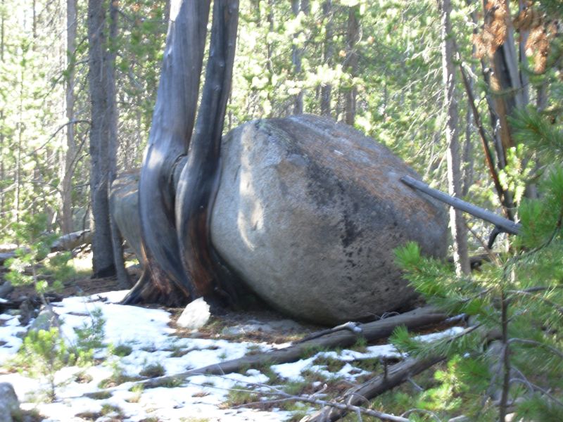
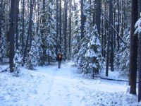
We rolled up and down through lodgepole forest. There were few views and no wildlife. There were lots of cows in the meadows. I tried to get water out of a small creek this morning but it was frozen. Logged areas confused us a little because there were several roads not in the guidebook, but we followed our instincts and did fine. There were several big meadows with grazing cows. Weve seen the same sight in NM, CO and Wyoming, as well as all over Montana. Typical CDT. After we crossed under Interstate 15, the mountains changed a bit. There were big boulders and whitebark pine instead of lodgepole. I was surprised to see that the new Nez Perce Trail is open to motorized use. A sign said, No vehicle wider than the trail which means motorcycles are okay and ATVs will soon widen the trail so they fit. Two miles up the trail, another sign said, All public use CDT. No trespassing on private property. Most of the ATVs went straight up the mountain, cutting the switchbacks on the CDT.
We had a hard time finding a campsite as there was still a lot of snow only an inch or two deep, but finding a dry flat spot wasnt easy. The trail was mostly on the shady side of the ridge. Where the trail was clear, we were climbing and there were no flat spots. We checked out one meadow, but it was lumpy. Finally we found a tiny spot that had melted out, though it was surrounded by snow. We were both ready to stop.
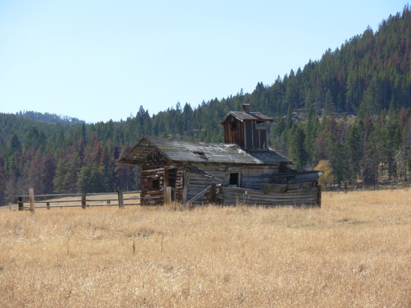
Yesterday we passed several old cabin ruins and some mines and prospects. Today we passed old ranch ruins down in Elk Park. There were inhabited houses too. One thing made us laugh: above the trail, someone had hung half a batman doll, upside down. It was funny.

Jim: Crossing I-15 was a trip. It's only about 8 miles into Butte from here. And when we get to Homestake Pass 2 days from now it'll still be 7 or 8 miles to Butte. We got to the Nez Perce Trail at 1530 - and started the climb with the understanding that there were campsites on the way up. No such luck. There was water - but when we got to the top we still hadn't seen anything even remotely resembling a decent campsite. So we kept on going - and going - and going. Finally, it was getting dark, so we found a place just big enough for the tent and set it down. We were supposed to camp after 3 miles on the Nez Perce Trail - but we set it down after 8 miles. Well, I guess we'll go to town tomorrow.
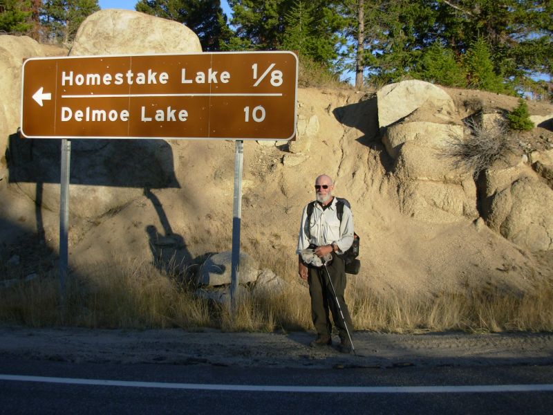
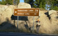
Saturday, October 14 18 ½ miles to Homestake Pass
Yesterday afternoon, clouds started gathering, at first just mares tails and angel hair. By evening the sky was a solid gray. Change is coming. The clouds gave us a beautiful pink and purple sunset, then cleared off completely. Out of a cloudless sky we got snowed and hailed upon a couple of times during the night, but not seriously. The hail was still on the ground when we got up this morning. However we have blue skies and sunshine again, which is a nice way to end this journey.
The hike wasnt particularly exciting, just rolling up and down on eroded jeep roads through dense forest. Katahdin it isnt. On the other had, I dont really feel like were finishing the CDT, just this years chapter of it. Well be back. There is still a lot to explore. So Ill put up with motorbikes and bad trail today and plan ahead for next years adventures.

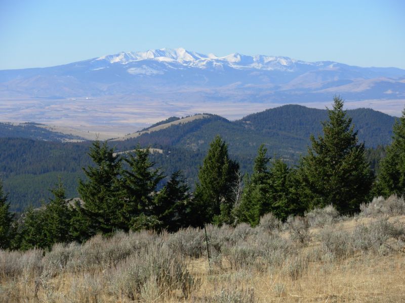
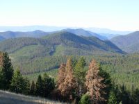
We saw a bear track in the snow this morning, the first since we left the Scapegoat Wilderness. I saw a deer about a mile from the end. Mostly we saw motorbikes 24 today. Jim was really unhappy at the trail, the motorcycles, the winding, and the short steep ups and downs. It was good trail for ATVs and dirt bikes, but not for hikers. They are building new trail that will go nearer Butte, but it isnt complete yet. I enjoyed the views of the Tobacco Root Mountains and the Highland Range covered with snow and the different vegetation here--sage, juniper, Douglas firand the scattered boulders. It was different. At this point, southern Montana begins.
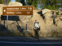
We hiked until 5:45, when we reached the junction next to the freeway where we left the trail a month ago. We connected our steps. We got a ride to town in about 15 minutes with a high school senior from Missoula whose roommate was hiking the CDT this year, and were in Butte soon afterwards. We headed to the casino across the street for a prime rib and steak dinner, and then went back to the motel to crash. We didnt really feel like celebrating. Ending this journey isnt really cause for happiness. I think we cant quite grasp that this journey really is over. I felt like the hiker on the Appalachian Trail who said, I ran out of blazes. I guess I have to go home. But we will be back.
Jim: As with our '99 hike, we're not finished with the Trail yet. This may be the end of the chapter, but it's not the end of the story. The story won't end until we're no longer capable of hobbling up the trail. And for us "the trail" probably includes the CDT - again.
Home | Links| Trail Journals |
The Thruhiking Papers | Bun-bun
Created: Dec 2006
Revised: 30 Sept 2016Copyright © 2006-2017 Spirit Eagle